 Friday, September 4, 2009
Sow & Cub
Location For The Night: Quality Inn, Waynesboro, VA
Miles Walked Today: 18.30
Day Number:
79
We had another cool night and a good night's rest accented by bright moonlight. A slight breeze kept moonlit silhouettes of leaves dancing on my tent walls all night long. But, we arose as usual and were walking at 7:14am.
At 9:43am we were overtaken by Chris, 19, of Boston, MA. Chris is a student at Union College in upstate NY. He and his dad have been section hiking the AT together every summer since he was a youngster. They have completed all the trail north of here.
At 10:12am we finally saw our Shenandoah bear(s). We heard a loud shuffling noise 20' above the ground in the fork of a big white oak tree about 40' west of the trail. It was a big Mama Bear. She didn't drop out of the tree as we have seen others do in the past. She hugged the trunk, scrambled down head first, hit the ground running, and put a good 25 yards between herself and the tree. Then she stopped. Immediately we saw why. Baby Bear was bounding through the woods toward her. When he caught up they both took off. It was exciting.
At 12:32pm we met SNP Ridgerunner, John, 62, of Fort Wright, KY. Ridgerunners enforce park rules and help hikers. Generally they do not tent, but sleep in the shelters. If a Ridgerunner needs a spot and a shelter is full, a hiker has to move out.
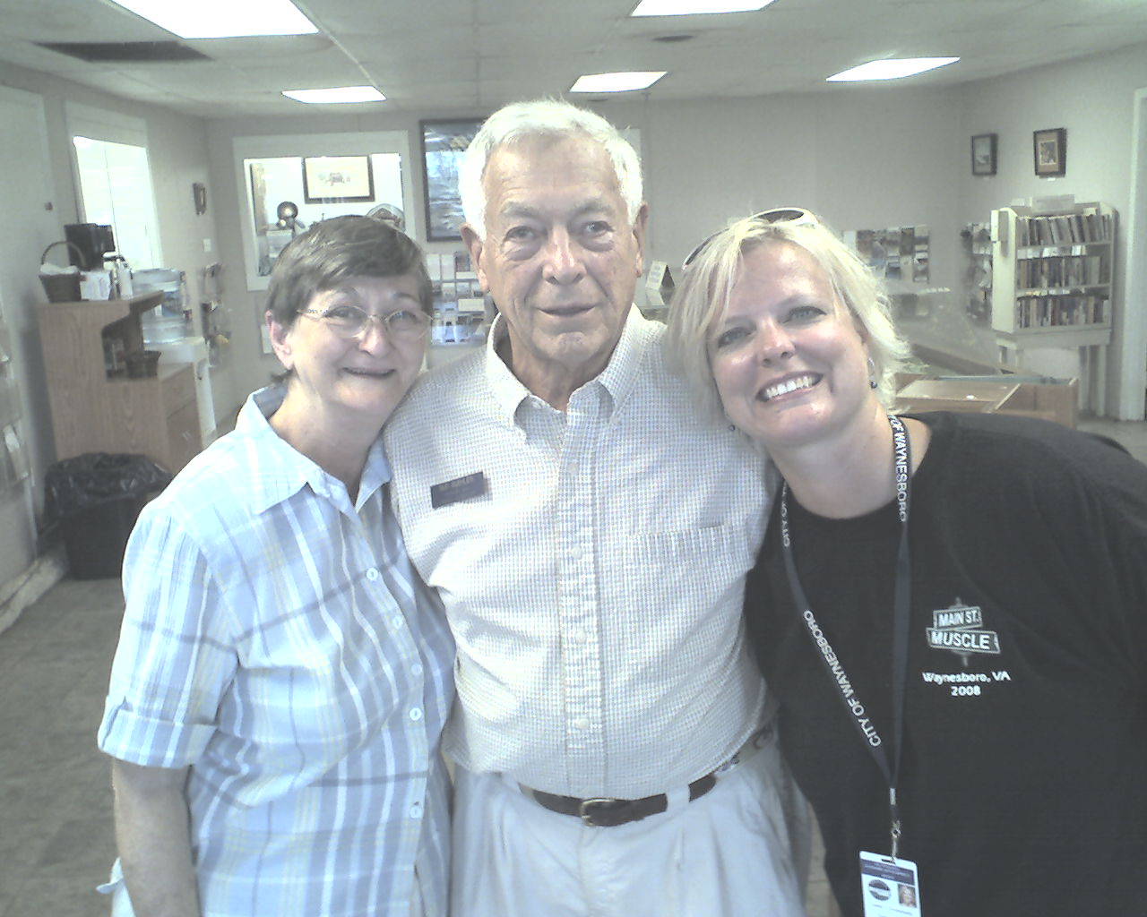
At 3:45pm we reached Rockfish Gap, the southern boundary of SNP. We walked across the highway to the area visitor center where Bud was on duty. Bud called Marguerite, a local trail angel, to give us a ride into Waynesboro, VA. Waynesboro is one of the most "hiker friendly" towns on the trail. Marguerite was there in minutes and we were on our way to town. Today's photo shows (left to right) Marguerite, Bud and Leeann, the visitor center coordinator. Thanks to all of you.
Marguerite took us by Rockfish Gap Outfitters where a young man repaired Flaxseed's hiking poles at no charge. He said the Leki poles were under warranty. This made Flax happy. He bought a pair of hiking socks from them.
Then, Marguerite not only drove us to the Quality Inn, but went inside to "make sure" we got the hiker rate. And, she'll pick us up tomorrow morning for resupply and a ride back to the trail. What a helpful lady!
It was my turn for laundry and the laundromat was .6 miles down the road in the hot afternoon sun. That's 1.2 miles l'm not getting credit for. After we both showered we planned next week's hike and decided to eat supper and let resupply go until morning. It was getting too late and we were too tired to shop.
We ate steaks at Gavid's restaurant where a hot and cold smorgasbord is included in the price of the meal. Soft serve ice cream with lots of toppings is part of it. We ate our share.
Today we walked from a stealth campsite at trail mile 1,307.5, to Rockfish Gap, trail mile 1,325.8, a total of 18.3 miles for the day.
God bless every last one of you.
 Saturday, September 5, 2009
Bad Information
Location For The Night: campsite at trail mile 1,346
Miles Walked Today: 20.20
Day Number:
80
We were up at 6:00am packing gear. I received a drop box and bounce box here so it took me a little longer than Flaxseed. We ate the motel's good continental breakfast and called Marguerite for a ride to Kroger. She was there in a jiffy, took us to the store and helped us find what we needed. Then she took us back to the trail head. We both gave her big hugs and thanked her for her kindness. She is a jewel.
When we hit the trail at 8:50am we were in the northern end of Virginia's Blue Ridge section. The Blue Ridge Parkway (BRP) winds its way through the Blue Ridge Mountains in the same way that Skyline Drive winds through SNP. We will cross it many times before exiting the Blue Ridge. Our first crossing was at 4:00pm today.
After a fairly easy morning and early afternoon we encountered rocky terrain. It slowed us down. But, we had another problem. Three water sources in a row that the guidebook showed to be dependable were dry or too shallow to dip. We were getting thirsty and needed water for camp. At 6:00pm we arrived at the parking area at Reed's Gap. Two hikers were there preparing for a weekend hike. Each had water to spare. We didn't get their names, but thanks guys. You really helped us out.
At 6:30pm we found a good established campsite on top of a ridge and called it quits for the day. After we ate and got in our tents an unexpected rain shower began. We hopped up, dropped the food bags down from the limb they were hanging from, covered them with a plastic bag, hung them back up, and scurried back in our tents just before a pretty good shower. It's 9:45pm now and the rain has stopped. A good breeze has picked up.
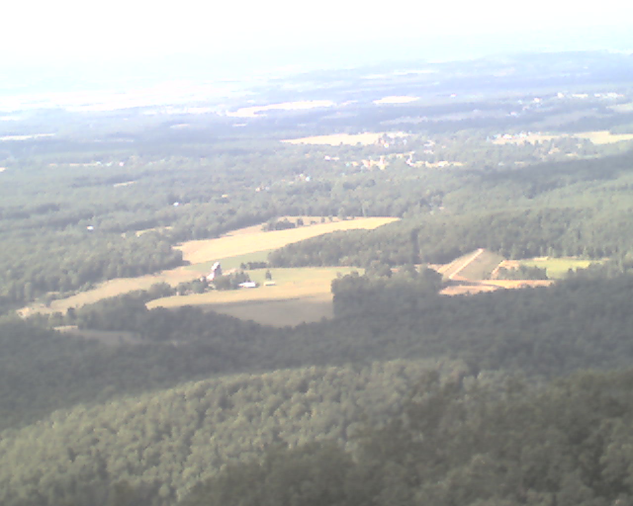
Today's photo was taken this afternoon looking northwest from the top of Humpback Mountain (3,362').
Today we walked from Rockfish Gap, trail mile 1,325.8, to an established campsite at trail mile 1,346.0, a total of 20.2 miles for the day.
Here's wishing a very HAPPY BIRTHDAY tommorow to my granddaughter, Hope Arterburn, in Paducah, KY. I love you Hope.
May God bless you with His everlasting love.
 Sunday, September 6, 2009
Hard Climbs
Location For The Night: Main Top Mountain stealth campsite
Miles Walked Today: 18.10
Day Number:
81
The brief hard shower last night was the extent of the rain, but our tents were wet and gear clammy this morning. For the first time this trip I overslept and did not wake up until 6:26am. That put us on the trail at 7:30am today.
Today's weather was mostly cloudy with some sun. It was seasonably cool and breezy.
Our main fare for the day was two hard climbs; climbs that will take the vinegar out of you. First thing this morning we attacked Three Ridges Mountain (3,870'), climbing 1,300 vertical feet to its summit. We descended and ate lunch on banks of the Tye River.
After lunch came The Priest (4,063'). It was a doozie. It's not named Priest Mountain, just The Priest. Don't ask me why. It is a 3,100' climb in 4.3 miles, and its profile is a straight, angled line. One is (we were) climbing for the entire 4.3 miles. When we got to the top we were dog tired. But, it was only 3:45pm and we're trying to get to Georgia. We hiked on until 6:00pm, spotted a good stealth campsite on top of Main Top Mountain (4,040') and wrapped it up for the day.
Today's photo shows one of the many stone walls we have seen all along the trail since we began in Maine. It was taken yesterday. Some of the walls were built as roads were cleared, others as pasture and crop land was cleared.
Today we walked from a campsite at trail mile 1,346.0, to a stealth campsite on top of Main Top Mountain, trail mile 1,364.1, a total of 18.1 miles for the day.
Here's wishing a very, very happy birthday tomorrow, September 7th, to one of my favorite sons, Malcolm Glen Arterburn of Paducah, KY. Happy birthday Glen.
May the Lord of all creation bless you and keep you as you trust in His one and only Son, the Lord Jesus Christ.
 Monday, September 7, 2009
Name Game
Location For The Night: stealth campsite near Pedlar Lake Rd.
Miles Walked Today: 20.90
Day Number:
82
It was cool and windy last night. Wind whipped in under my vestibule door flap right down on my head. I positioned my backpack and shoes under the flap to form a windbreak and donned my sock hat for the first time in two months. This, and a bed of soft leaves made for a good night's sleep. But, morning arrived and it was time to resume our walk in the woods, which we did at 7:10am.
Today was partly cloudy and warm with a breeze all day. The high was probably about 84 degrees.
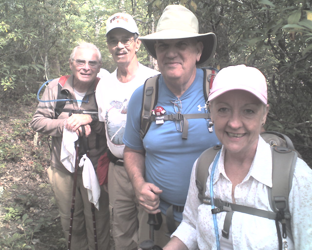
At 10:45am we met the folks featured in today's photo. They were out for a morning walk. From left to right they are: Randy, 71; Archie, 74; Bill, 65; and Linda, 61. Bill and Linda are married. They are all local folks and provided good information about our next resupply town. But here's the kicker. Archie's last name is McCoy. He is a direct descendent of the McCoys of the Hatfield and McCoy feuds. When I was here in 2007 a Hatfield, originally from West Virginia, and also descended from the feud clan gave me a ride to Buena Vista, VA. He picked me up on US Highway 60 not 5 miles from where we met Archie McCoy today. (I can't remember his first name but it's in the 2007 journal.)
Names of places along the trail are interesting. It's fun trying to figure out where they came from. For example, today we walked by Spy Rock, Elk Pond Branch, Piney River, Greasy Spring Rd., Salt Log Gap, Tar Jacket Ridge, Hog Camp Gap, Cold Mountain, Cow Camp Gap, and Bald Knob (which was not bald).
This morning we were up and down from 4,040' to 3,257'. After lunch we started our descent to Brown Creek. At 5:30pm Flaxseed found a good stealth campsite at about elevation 1,320'. It's much warmer down lower and there is little breeze. No need for a sock hat tonight.
I have not been able to post the past two days' reports for lack of a Broadband signal. The cell phone worked but not the Internet connection. Maybe I'll get through tomorrow with all three reports.
Today we walked from a stealth campsite at trail mile 1,364.1, to another stealth campsite near Pedlar Lake Rd., trail mile 1,385.0, a total of 20.9 miles for the day.
God bless you all.
 Tuesday, September 8, 2009
Trail Angel
Location For The Night: Natural Bridge Hotel, US Highway 501
Miles Walked Today: 18.00
Day Number:
83
We awoke to a cloudy sky and started our ascent from the valley back into the mountains at 7:05am.
By 9:00am we had ascended into a dripping fog. Light rain continued throughout the day.
We reached the top of Bluff Mountain (3,372'), today's highest peak, at 11:15am. There is a small bronze memorial there with this inscription : "This is the exact spot little Ottie Cline Powell's body was found Apr. 5, 1891, after straying from Tower Hill School House Nov. 9, a distance of 7 miles, age 4 years, 11 months." What a sad, sad tribute. As a parent and grandparent it sends chills up my spine.
At 2:00pm we got our first view of the James River winding through the valley below. As we continued our descent we saw it over and over. Each time it loomed larger. Tomorrow morning we will cross it on a footbridge built just for the AT.
At 4:45pm, as the rain continued, we reached US Highway 501 with no food, few options for resupply and lodging and no cell phone signal. We did not resupply here in 2007 and knew nothing about these towns.
We first decided to try hitching east to Big Island, VA. Then, on a hunch, Flaxseed said, "I think we'll have better luck hitching west." (to Glasgow, VA.) He crossed the road and the second vehicle pulled over. It was our Trail Angel for the day, construction worker, John Snead, on his way home from a remodeling job near Big Island. He willingly volunteered to take us to the grocery in Glasgow, wait for us to shop, take us 6 miles further to Natural Bridge Hotel, and pick us up in the morning on his way to work and return us to the trail. What a helpful guy. John turned a frustrating situation into a piece of cake. Thanks John.
John dropped off at the hotel at about 6:00pm. We cleaned up, washed a few clothing items in the shower, and ate supper at the hotel restaurant. We both ordered cheeseburgers and barbecue sandwiches, each order with fries and slaw. Of course we had double scoops of ice cream for desert.
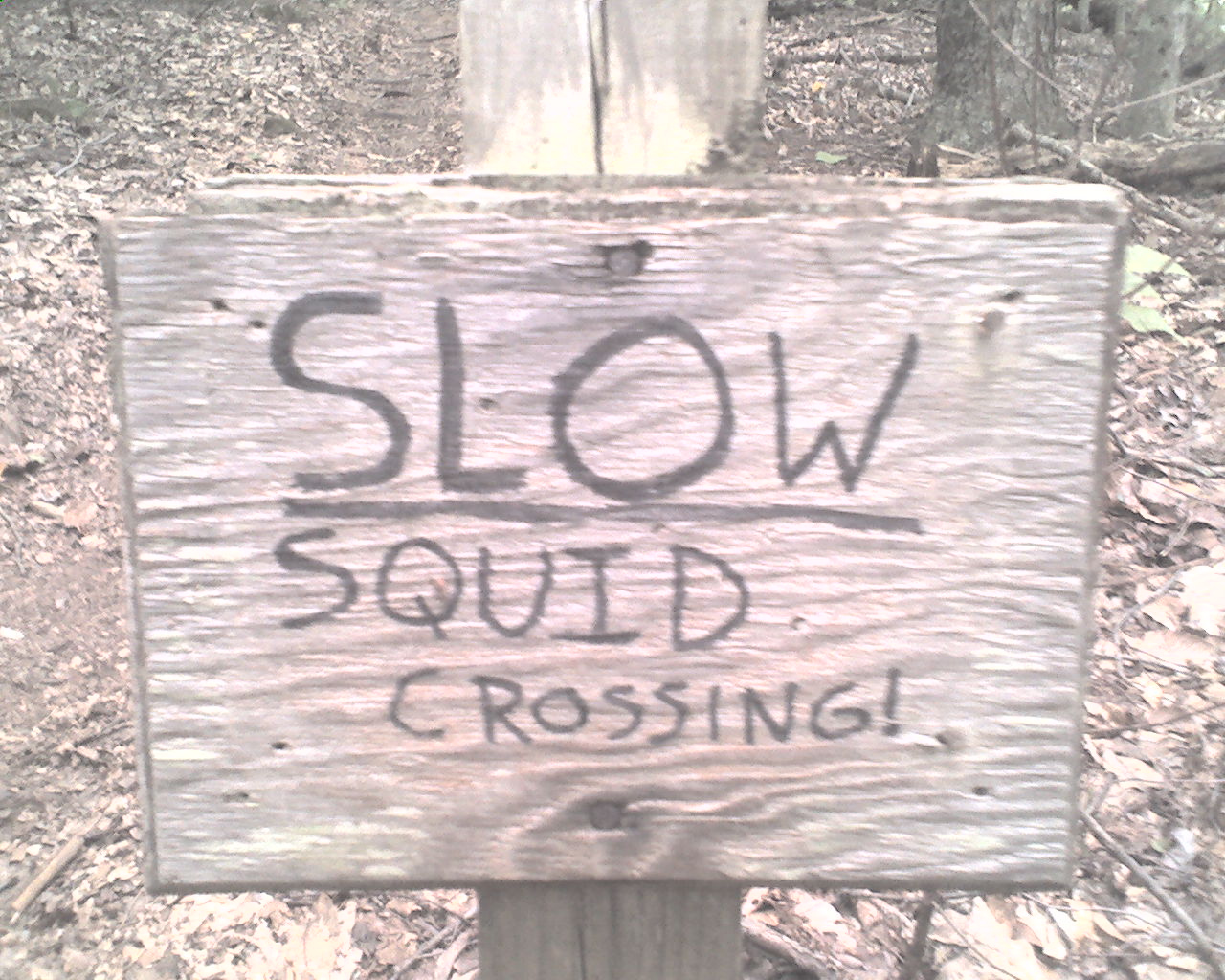
Today's photo was taken at about 10:00am where the trail crossed an old logging road. You figure it out. I can't.
Today we walked from a stealth campsite near Pedlar Lake Rd., trail mile 1,385.0, to US Highway 501, trail mile 1,403.0, a total of 18.0 miles for the day.
May God bless each and every one of you.
 Wednesday, September 9, 2009
James River
Location For The Night: stealth campsite at trail mile 1,423.4
Miles Walked Today: 20.40
Day Number:
84
Yesterday's trail angel, John Snead, was to pick us up at 7:15am on his way to work. But, as we were checking out of the hotel the night clerk, Tom Moses, volunteered to give us a ride when his shift ended at 7:30am. That gave us time to partake of the hotel's breakfast buffet. When John arrived we thanked him again and apprised him of our new plan. The buffet was excellent, well worth the change in plan. After breakfast Tom drove us to the trail and we were walking at 8:10am.
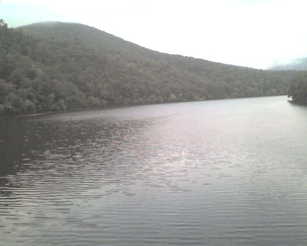
We immediately crossed the James River on a special AT foot bridge dedicated to a fellow whose last name is Foot. Today's photo was taken from the bridge looking upstream.
It was cool and partly cloudy with a good breeze all day. Tonight it is cloudy and the wind is increasing.
Water is a little scarce. Many of the sources listed in the guidebook are dry. We are both doubling up when we do find water.
Little else happened today other than walking in the woods over good trail.
At 6:00pm we found a good stealth campsite just north of the top of Floyd Mountain.
Today we walked from US Highway 501, trail mile 1,403.0, to a stealth campsite at trail mile 1,423.4, a total of 20.4 miles for the day.
May God bless all of you.
 Thursday, September 10, 2009
Flip Flopper
Location For The Night: Stealth campsite near Harvey's Knob Overlook
Miles Walked Today: 20.40
Day Number:
85
It was windy and foggy last night, a thick dripping fog equal to light rain. We awoke to the dripping, spent an extra half hour in our tents to give it time to ease and were on the trail at 7:30pm.
It was cloudy and fairly cool and breezy all day today with a few brief periods of sunshine.
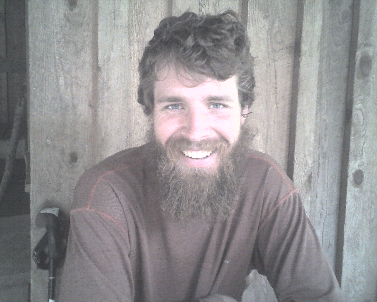
At 10:00am as we approached Bryant Ridge Shelter a voice hollered out, "It's the Ringmaster. I haven't seen you since we stayed together at Carter Notch Hut." (Carter Notch Hut is in New Hampshire's White Mountains.) It was Pocho (today's photo), 25, from Starkville, Mississippi. He was north bound when we saw him in the Whites. Now he's hiking south. This is called "flip-flopping." He hiked with a buddy from Duncannon, PA, to Mount Katahdin in Maine, then drove back to Duncannon and started south before we got to Duncannon. He recently graduated from Mississippi State with a degree in landscape contracting and is contemplating attending graduate school. Poncho hikes with a Laborador Retriever named Lefty.
Water has become a real problem. We not only have to double up, we have to "camel up" at each water hole. This means we drink all the water we have and fill all all the containers we've got.
By mid-afternoon we were walking parallel to the Blue Ridge Parkway and continued to walk within hearing distance the rest of the day. We crossed it several times today. The views to the valleys, both east and west, are wonderful. God's creation is marvelous.
At 6:00pm we found another excellent stealth campsite near the BRP. But, traffic on it at night is nearly non-existent. It's a scenic route for the daytime.
Today we walked from a stealth campsite near the top of Floyd Mountain, trail mile 1,423.4, to another stealth campsite near Harvey's Knob Overlook, trail mile 1,443.8, a total of 20.4 miles for the day.
May each of you be blessed with God's abundant grace and mercy.
 Friday, September 11, 2009
Short Day
Location For The Night: Howard Johnson Express, US Highway 220, Daleville, VA
Miles Walked Today: 15.90
Day Number:
86
It was windy and cool on top of the ridge last night. Good sleeping weather, but almost too cool. As it gets cooler we're going to start camping in the hollows instead of on the hills. There's too much exposure up high. But, the day dawned clear and sunny and remained so all day long; a beautiful late summer day. We were walking at 7:10am.
The trail continues to be excellent in this region. There are few rocks and almost no roots. There are long sections with graded switchbacks. It is pure joy when compared to much of the trail north of here.
The water situation was better today. We loaded up early but passed several good streams that we were able to by-pass.
Our short day's walk was complete at 2:19pm when we reached US Highway 220 at Daleville, VA., an excellent trail town for hikers. Everything we need is in easy walking distance.
We made a hard left (Left is always east for a southbounder, no matter what the compass reads.) and walked 50 yards to a Pizza Hut. We devoured a large double meat, double cheese, extra tomato sauce pizza and about a gallon of Pepsi each.
Next, we checked into the Howard Johnson Express just across the street, washed clothes at the motel and showered. Flax did some sewing on his shoes and I stitched up a minor, non-structural spot on my homemade backpack.
Next, it was 3/8 mile down the hill to Kroger for a five day resupply to get us to Pearisburg, VA, 95 miles from here.
When we returned from shopping we were still full of afternoon pizza and decided to forego our planned Mexican supper in favor of ice cream in the room. Right now Flaxseed is delving into a pint of vanilla. I plan to eat one pint of chocolate and one of mint chocolate chip. I'll wash it down with a pint of chocolate milk. We're trying our best not to starve to death out here.
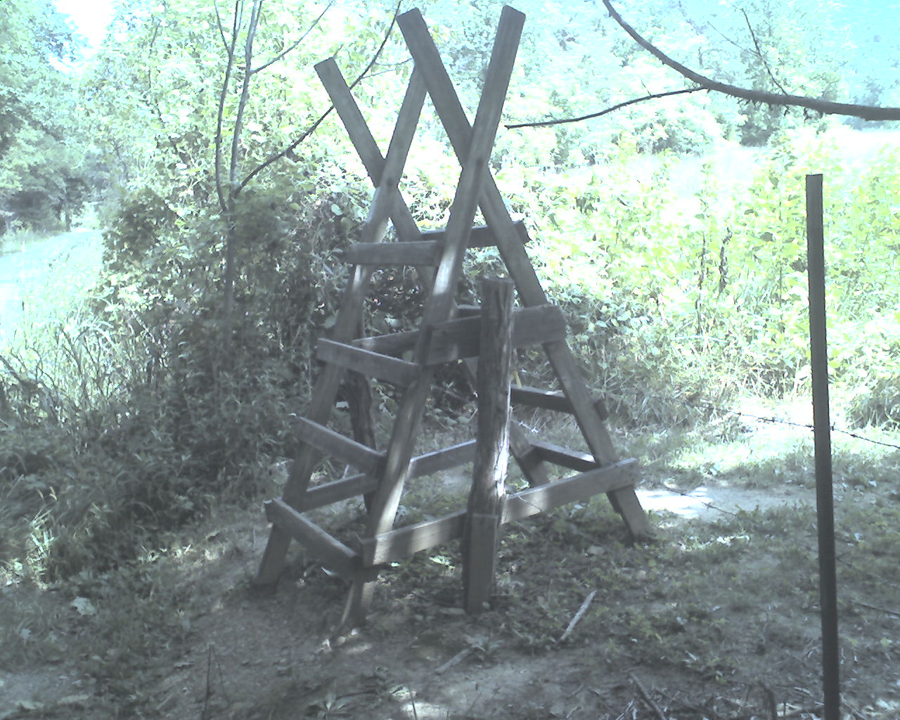
Today's photo is a typical stile that we use to cross fences when we walk across pasture fields and private land. This one was at the edge of a field about a mile north of Daleville.
Today we walked from a stealth campsite near Harvey's Knob Overlook, trail mile 1,443.8, to US Highway 220, Daleville, VA, trail mile 1,459.7, a total of 15.9 miles for the day.
God bless all of you.
 Saturday, September 12, 2009
Life Giving Water
Location For The Night: stealth campsite just past VA Highway 311 at trail mile 1,479.8
Miles Walked Today: 20.10
Day Number:
87
We ate breakfast at the motel, walked out the front door, and 50 yards later, at 7:30am, we were on the trail. Daleville is a true "trail town."
About a quarter of a mile from the highway we came upon Poncho resting comfortably in a hammock swung between two trees. Lefty, his dog, was there too. He sleeps on the ground.
After our initial climb we walked a narrow, knife-like ridge most of the morning. At times the mountain fell away steeply on both sides of the trail. Views from from the ridge to the valleys below occurred fairly often; the best we've had since the White Mountains.
At 1:00pm we reached the summit of Tinker Cliffs, a half-mile cliff walk. The views there were spectacular. Walking the edge of the cliff is scary. We stay on the inside of the trail, away from the edge.
At 3:30pm we were on top of McAfee Knob for more fantastic views. McAfee Knob is a popular place for day hikers. We met at least 25 people coming and going this Saturday afternoon.
At 3:55pm we met 6 Scouts and two leaders from Boy Scout Troop 8 of Jamestown, NC, out for a weekend backpacking trip. Scoutmaster, Barry Neel, and Assistant Scoutmaster, Jeff Clouse were the trip leaders.
At 5:00pm we finally found what we were looking for. Life giving water. The guidebook said there was a piped spring on the trail just south of Catawba Mountain Shelter. We were afraid it would be as dry as we were. It was not. It was trickling and that was good enough. We drank up and filled up with enough water for camp. Today's photo shows one of Flaxseed's water bottles under the trickle.
At 6:15pm we found a good stealth campsite and called it quits for the day.
Today we walked from US Highway 220, Daleville, VA, trail mile 1,459.7, to a stealth campsite just past VA Highway 311, at trail mile 1,479.8, a total of 20.1 miles for the day.
God bless every last one of you.
 Sunday, September 13, 2009
Rock Climbing
Location For The Night: stealth campsite on the south slope of Brush Mountain, trail mile 1,498.9
Miles Walked Today: 19.10
Day Number:
88
We broke camp and hit the trail at 7:12am today. It was another perfect day for a walk in the woods; cool in the morning, warming to about 80 this afternoon, sunny and breezy all day.
There are very few hikers (or anybody else) up here now. We're both glad to be hiking together. It would be awful lonely without a companion.
We had some rocks to climb today (and yesterday), the most we've had since New Hampshire, or, maybe, Pennsylvania. Most of it occurred this morning as we made our way up to Dragons Tooth at the top of Cove Mountain. It makes our legs sore in spots they haven't been sore for awhile.
At 2:00pm we had to go into Pickle Branch Shelter, .3 mile off the trail, to get water. We filled up, ate lunch, drank our treated water (we wait 25 minutes for the chemical to kill the germs), and filled up again. This would be our last water source before camp.
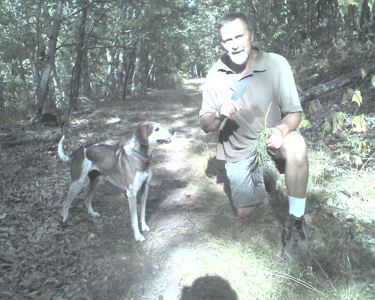
At 5:00pm Dale Sirry and his dog, Maggie (today's photo) passed us coming back down Brush Mountain after climbing to the summit for exercise. Dale, from nearby Catawba, VA, makes this four mile, 1,600' vertical climb every Sunday after church. He had Maggie stand on her hind legs and dance around in a circle for me.
We summitted Brush Mountain, walked another hour or so, and stopped for the day at 6:15pm.
Today we walked from a stealth campsite at trail mile 1,479.8, to another stealth campsite on the south slope of Brush Mountain, trail mile 1,498.9, a total of 19.1 miles for the day.
May God's blessings be yours as you trust in Him.
|

