 Tuesday, August 25, 2009
Bailey Spring
Location For The Night: Bailey Spring stealth campsite
Miles Walked Today: 20.30
Day Number:
69
It was cool last night, in the low 60s I would guess. This makes for a better night's sleep. But, morning came and hike we must. We were walking at 6:45am.
It was hotter and more humid today than yesterday, definitely still summertime. We both stink again tonight.
At 8:30am we passed a father and son taking a break on the side of the trail. Their backpacks were on the ground beside them. The boy was about 10 years old. They said that school starts tomorrow and they had been out for a vacation ending night in the woods together. I thought that was pretty special.
At 9:00am we ate breakfast at Caledonia State Park. The restroom there was the cleanest we've seen at any state or national park. After breakfast we walked out of the park and crossed US Highway 30. This is the location that Flaxseed and I parted on our 2007 northbound hike when his sister joined him for a month. It brought back memories for both of us.
The days are becoming somewhat routine and there are virtually no other hikers on the trail now. As far as we know Rojo, Brewer and the other four south bounders we last saw in Duncannon, PA, are somewhere behind us. We may or may not see them again. Northbound through hikers are non-existent at this point. The few hikers we do see are either section hikers or weekenders.
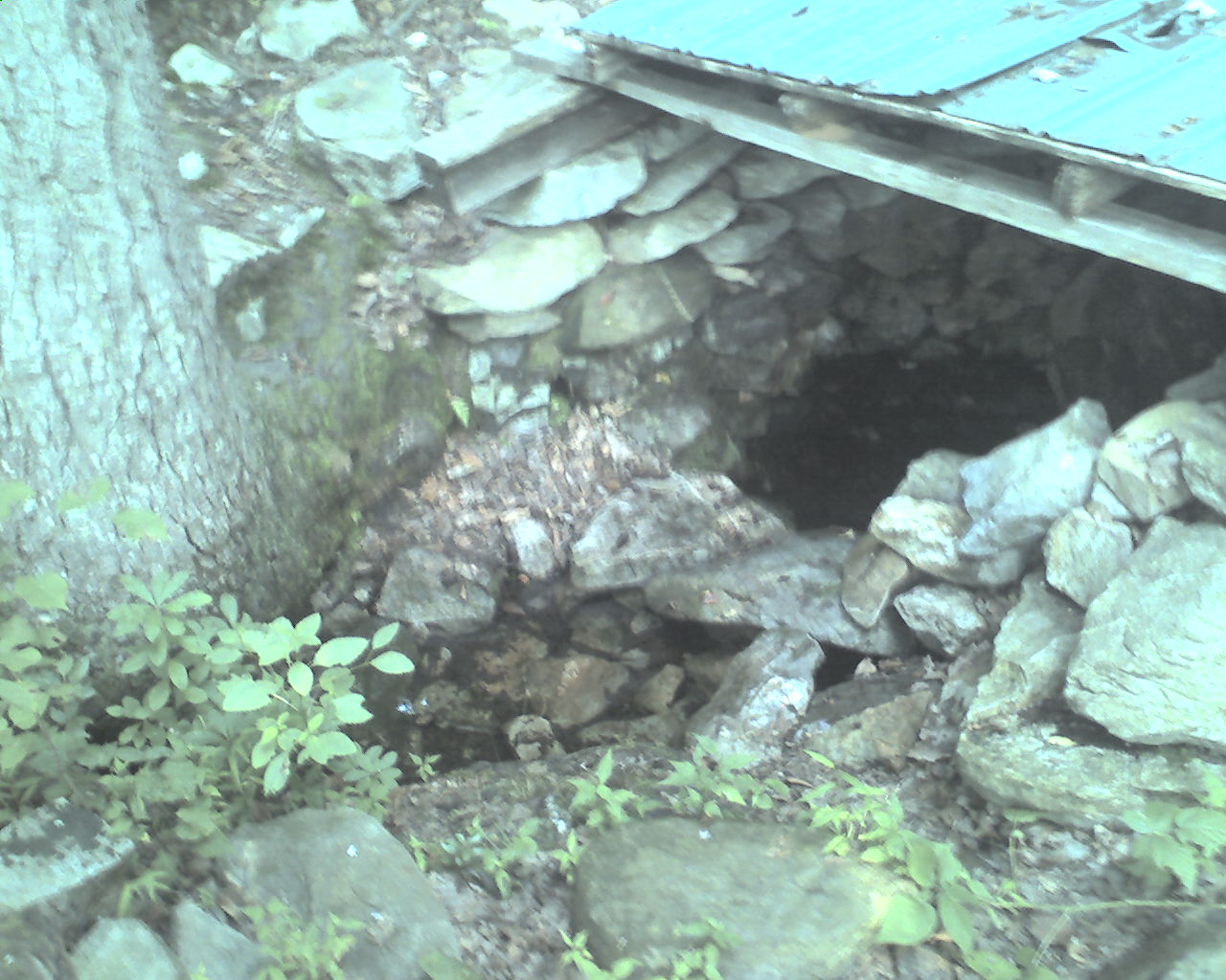
At 4:45pm we came to Bailey Spring (today's photo). This is a typical water source, though most do not have a roof over them. We needed water and figured we had done enough for the day. Flaxseed found a good, unused campsite in a grove of small trees near the spring an we pitched our tents for the night.
Today we walked from a stealth campsite at trail mile 1,100.3, to Bailey Spring, trail mile 1,120.5, a total of 20.3 miles for the day.
May God bless you all.
 Wednesday, August 26, 2009
Hello Maryland
Location For The Night: Pine Knob Shelter
Miles Walked Today: 21.40
Day Number:
70
We broke camp and started walking at 6:50am today. The weather was the same as yesterday, hot and humid. But, it's not raining. For that we are thankful.
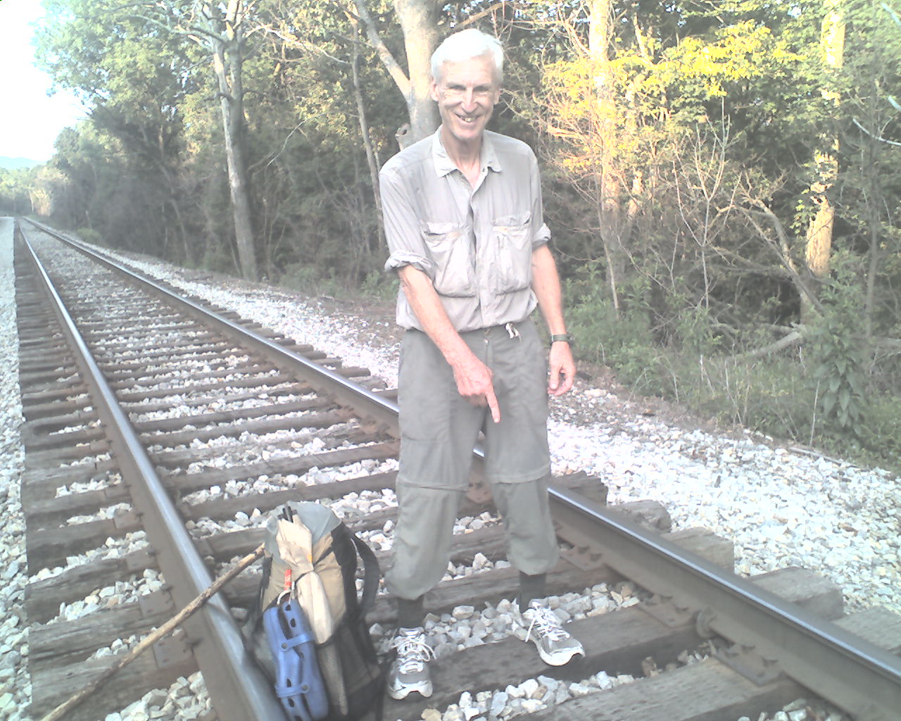
At 8:23am we entered Maryland - Dixie Land. There is no sign or marker to indicate the exact location of the border but the guidebook says the railroad track is it. Accordingly, in today's photo my left foot is in Pennsylvania and my right foot is in Maryland.
After crossing into Maryland we ate breakfast high on the ridge at Pen Mar County Park. As we ate we enjoyed a panoramic view of the green, peaceful valley to the west. In contrast, an historical marker at the park describes the route that General Robert E. Lee's supply wagons took as they traveled through this area when the Confederate army was marching toward Gettysburg. It made me shiver to think of that two day slaughter.
At noon we stopped at Ensign Cornwall Shelter for water. A group of students from Johns-Hopkins University were putting on their backpacks and getting ready to leave. Some were freshmen, others upperclassmen (and women). One said they were on an "induction trip." I left wondering what they were being inducted into.
At 5:30pm we called it quits at Pine Knob Shelter where we pitched our tents in one of the established tent site areas. We ate supper with two remarkable ladies. Granny Gear, 71, of Wichita, Kansas, and Red Tornado, 69, of Lakewood, New Mexico, are section hiking the entire AT. They have already completed more than 1,000 miles. Red Tornado says it sure beats sitting in a rocking chair.
Today we walked from Bailey Spring, trail mile 1,120.5, to Pine Knob Shelter, trail mile 1,141.9, a total of 21.4 miles for the day.
God bless every last one of you.
 Thursday, August 27, 2009
Perennial
Location For The Night: Hillside Motel, Sandy Hook Bridge of US Highway 340
Miles Walked Today: 21.60
Day Number:
71
Early this morning as Flaxseed walked past Pine Knob Shelter to get water at the spring he discovered Rojo and Brewer in the shelter. They said they hiked 33 miles yesterday and arrived late last night. They looked tired. We greeted them, said goodbye, and hit the trail at 6:48am.
It was hot and humid again today. The heat wears on us.
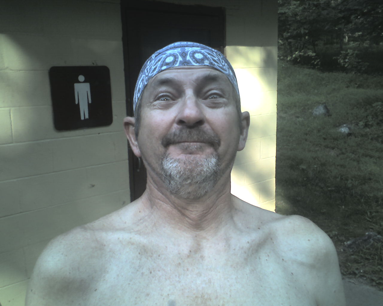
At 9:30am we came across section hiker, Perennial (today's photo), freshening up at Dahlgren Campground bathhouse. Perennial said he through hiked the AT in 1990 and 2006. This year he is section hiking some of his favorite sections. Like Flaxseed, he is a Marine veteran who served our country in Vietnam. I asked him if he had anything to say to you. He said to tell you that, "The movie is back on." He was referring to Robert Redford's plans to produce a movie based on "A Walk in the Woods," Bill Bryson's hilarious book on hiking the AT. Evidently plans have been in limbo for a while. He said a 2011 release is anticipated.
After what seemed like a long day we descended down to the the old C&O Canal tow-path. We left the trail at the Sandy Hook Bridge on US Highway 340, and hitched a ride in the back of a dump truck up Sandy Hook Road to the Hillside Motel, arriving at 5:00pm. We were out of food and needed to resupply.
Across the street at Cindy Dee's restaurant we were served the greasiest fried chicken either of us had ever seen. For our current needs it was perfect. We ate half a chicken each. Then we topped it off with a pint of ice cream. I added a slice of peach pie.
Today we walked from Pine Knob Shelter, trail mile 1,141.9, to Sandy Hook Bridge of US Highway 340, trail mile 1,163.5, a total of 21.6 miles for the day.
God bless all of you.
 Friday, August 28, 2009
Hello West Virginia
Location For The Night: stealth campsite at trail mile 1,179.5
Miles Walked Today: 16.00
Day Number:
72
When I was a child I was admonished to, "Sleep tight and don't let the bedbugs bite." This admonition is worthless at the Hillside Motel. Bedbugs, one of God's creatures I had never encountered until last night, are plentiful there. Suffice it to say their company makes for an unpleasant night.
But, we made through the night, ate a wholesome breakfast at Cindy Dee's and caught a ride back to the trail in a plumber's van.
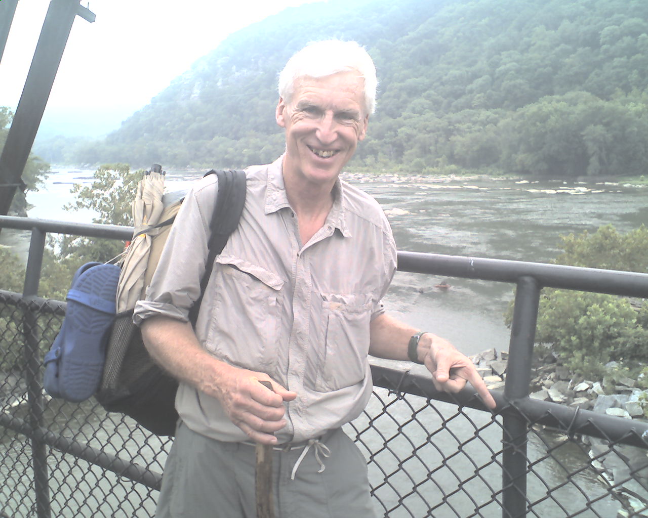
At 9:15am, just as we got back on the trail, we heard voices behind us. It was Rojo and Brewer. They joined us for the walk across the Potomac River bridge into Harpers Ferry, WV. Today's photo was taken on the bridge at mid-span, approximately the West Virginia border.
At 10:00am the four of us arrived at the Appalachian Trail Conservancy office. We signed in, had our official through hiker photos taken and cataloged, and I picked up a drop box. While at the ATC office the other four SOBOs I've mentioned in the past came in. They are siblings, aka, "The Four Sibs", 3 brothers and a sister, from a Pennsylvania family of 12 children. Their trail names and ages are: Sweeper, 26; Tarzan, 25; Spiderbite, 24; and sister, Mountain Killer, 19.
At 11:00am Flaxseed and I left the ATC office to walk to a convenience store to resupply. (The store last night did not have what we needed.) As we were walking a fellow in a pickup hailed us asking if we needed help. He was "Trail Angel" Paul, aka, Blue Moon and he took us to a restaurant for sandwiches and about 10 miles down the road to a Food Lion grocery. We resupplied and caught a ride back to the ATC office with Tim Sirbaugh, the store manager. Thanks Paul and Tim.
We were back on the trail at 12:30pm and immediately crossed the Shenandoah River. At 1:15pm The Four Sibs passed us as we were climbing up out of the valley. They were moving on.
At 5:30pm we descended down to the ATC's Blackburn Center hostel for water. The Four Sibs were there for the night. We got our water and hiked on for another hour, stopping at 7:00pm at a stealth campsite.
Today we walked from Sandy Hook Bridge, US Highway 340, trail mile 1,163.5, to a stealth campsite at trail mile 1,179.5 (approx.), a total of 16.0 miles for the day.
May the Lord bless you and keep you.
 Saturday, August 29, 2009
Hello Virginia
Location For The Night: stealth campsite at trail mile 1,200.5
Miles Walked Today: 21.00
Day Number:
73
Dense fog accompanied by dripping condensation and a strong wind made for an interesting night. Even with my tent pitched close to the ground the wind was strong enough to blow moisture laden air into my sleeping quarters. When I turned on my headlamp I could see fog inside my tent. I thought I was in a Bogart movie. (If you young folks don't know who Bogart is ask your grandparents.) Flaxseed said he slept like a log.
Regardless, we packed wet gear and headed out at 7:10am. It was still foggy and dripping but soon cleared and became very hot and humid like a steam bath.
After two miles we entered the "Roller Coaster," a 13.5 mile section of abrupt ascents and descents with no ridge or valley walks in between. The profile looks like a wide zigzag stitch. This terrain and the oppressive heat and humidity made for a tough day.
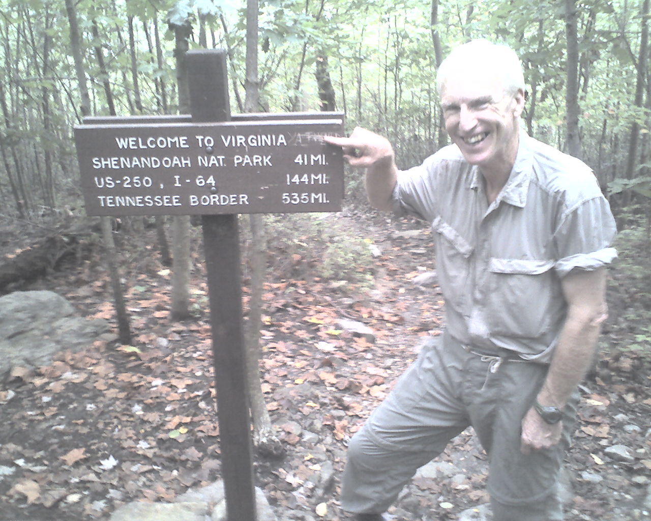
Yesterday, after crossing the Shenandoah River we were in Virginia off and on but crossed back over into West Virginia several times. Today, at 8:36am we entered Virginia to stay. Today's photo was taken at the state line. Don't look for any more "Hello" titles for a while as there are 535 miles of the AT in Virginia, about one-forth of the entire trail.
We played tortoise and hare "leapfrog" with The Four Sibs today. As you know we are all headed south. They hike like the hare; we like the tortoise. We were ahead to start the day. They passed us as we were getting water at about 3:00pm. We passed them as they were taking a break at about 3:45pm. They passed us again about 20 minutes later. But, they probably camped at a shelter about 5 miles behind our night's campsite, so we are ahead of them again. We're not sure where Rojo and Brewer are right now.
We pushed hard today, hiking until 7:00pm, to get the Roller Coaster behind us and to have a short day to Front Royal, VA, tomorrow. I have a drop box there and we need (and want) town food again.
Today we walked from a stealth campsite at trail mile 1,179.5, to another stealth campsite at trail mile 1,200.5, a total of 21.0 miles for the day.
May God bless you as you put your faith in His only Son, Jesus Christ, our Savior and Lord.
 Sunday, August 30, 2009
Good Water
Location For The Night: Quality Inn, Front Royal, VA
Miles Walked Today: 18.20
Day Number:
74
This morning dawned cooler and drier than yesterday. The sky was clear. It was a beautiful day for a walk in the woods. We commenced our walk at 7:03am.
At 10:45am we stopped for lunch and water at Manassas Gap Shelter. The water source there is a cold, clear, free flowing, piped (a pipe is inserted in the spring runoff for easy access) spring about 50 feet from the shelter. Good water, easily accessible. As we were finishing our meal the Four Sibs rabbited in for lunch. I showed them my ring trick and we departed.
At 1:45pm we stopped for water at the Jim and Molly Denton Shelter. The cold, clear, free flowing, piped spring was about 20 feet from the trail. Good water, easily accessible.
I point out these two water sources in order to contrast them with some of the many others. Some are as much as a half-mile down (and back up) steep, rocky mountain sides. Others are questionable creeks with cloudy, yellowish stuff that passes for water. Good, easily accessible water is a hiker's dream.
At 3:20pm we ended our day's walk at US Highway 522, Front Royal, VA. Mike Long and his daughter of Winchester, VA, were hiking out at the same time after a weekend backpacking trip. Mike called his wife, Denise, to pick them up and they gave us a ride to the Quality Inn in Front Royal, VA. As we passed back by the trail head from the adjacent parking lot the Four Sibs were hitching a ride into town for a motel stay and resupply.
At the motel I picked up a drop box, we showered, and Flaxseed repaired his backpack. Then it was down to The Mill restaurant on Main Street for full-slab pork rib dinners. We resupplied at Food Lion, washed our clothes, ate our ice cream, and, finally, got to bed. We are constantly on the go.
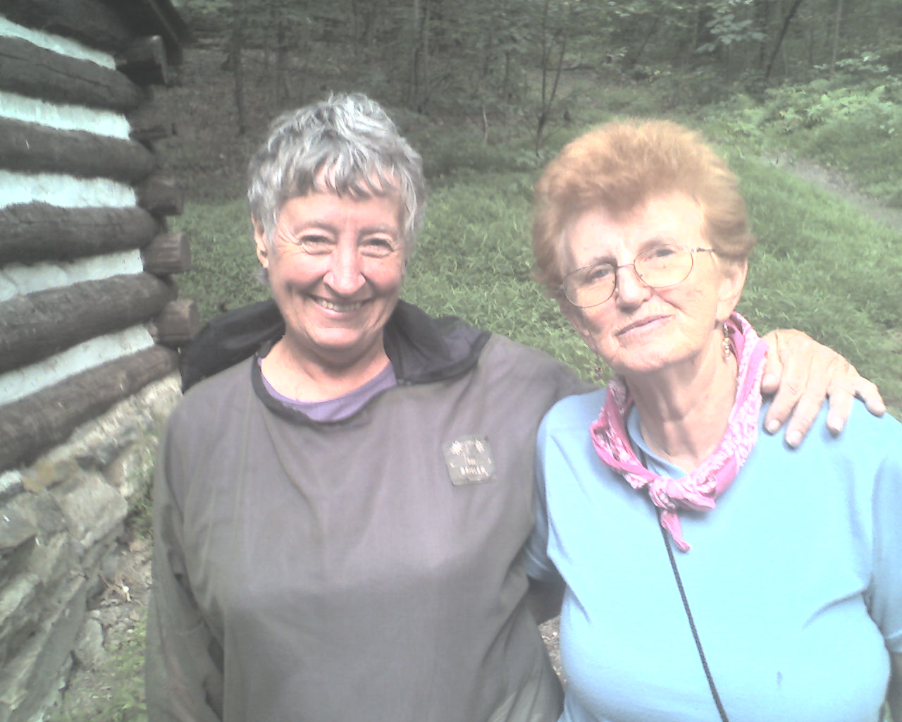
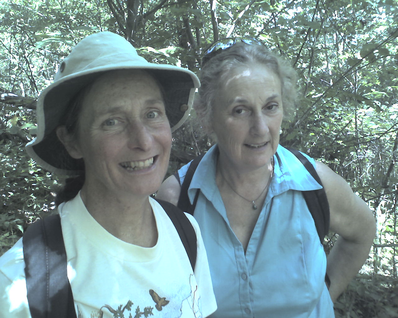
Today's photo of section hiking pals, Granny Gear, 71, (left) and Red Tornado, 69, goes back several days. Granny Gear has two, new artificial knees and she's still out here tripping over rocks in sweltering heat. She must be a little bit crazy.
Today we walked from a stealth campsite at trail mile 1,200.5, to US Highway 522, Front Royal, VA, trail mile 1,218.7, a total of 18.2 miles for the day.
May the Creator of everything that is bless each of you with abundance.
 Monday, August 31, 2009
Skyline Crossings
Location For The Night: stealth campsite at trail mile 1,238.2
Miles Walked Today: 19.50
Day Number:
75
Today we slept until 7:00am and had a good, filling complementary breakfast at the motel. The motel provided a free shuttle back to the trail and we were walking again at 9:00am.
It was cool and mostly clear this morning and stayed cool all day as we climbed to higher elevations. A touch of fall was in the air. This is a most welcome change.
At 11:00am we entered Shenandoah National Park (SNP) at Possums Rest Overlook. Just over 100 miles of the AT is in SNP.
The remainder of this beautiful day was spent climbing mountains and crossing Skyline Drive, the scenic highway that runs through the the SNP. We crossed it 11 times today.
At 5:50pm we crossed Skyline Drive for the final time today at Elkwallow Wayside, a SNP sandwich shop and grocery. The Four Sibs were there. They left Front Royal about an hour before we did this morning. We're playing leapfrog with them again.
We ate cheeseburgers for supper and Flaxseed had two ice cream sandwiches. Then we found a stealth campsite about .4 mile past Elkwallow Wayside and called it quits for the day.
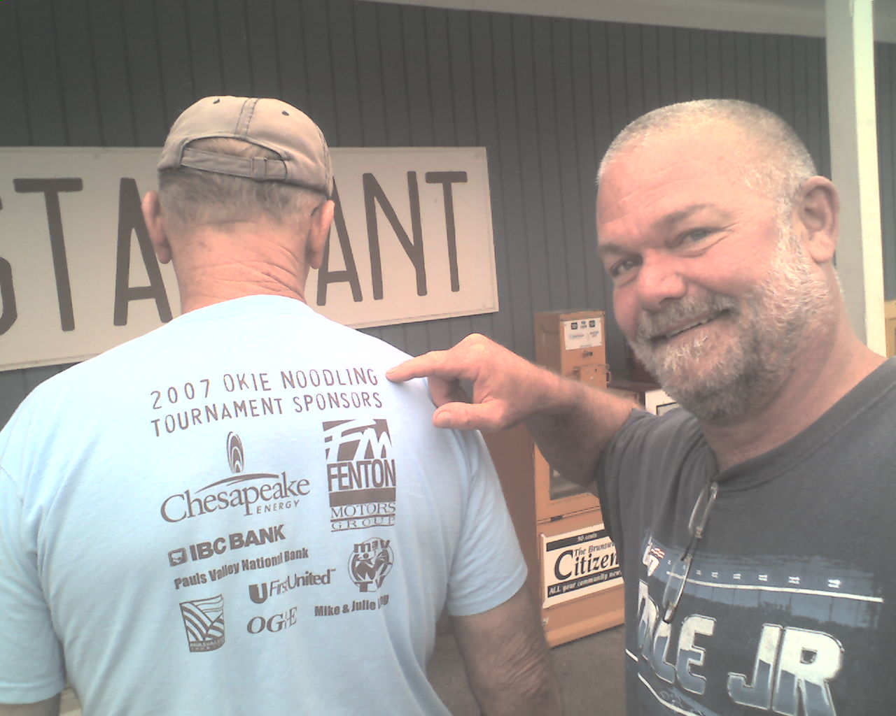
Today's photo of Bernie (back to camera) and Wayne was taken several days ago at Cindy Dee's restaurant in Maryland. I post it to reinforce the fact that we really are getting back down south. A noodling tournament would be hard pressed to gain sponsorship in Connecticut. As far as I know yankees don't do much noodling.
Today we walked from US Highway 522, Front Royal, VA, trail mile 1,218.7, to a stealth campsite at trail mile 1,238.2, a total of 19.5 miles for the day.
Happy, happy birthday today to Elle Roedemeier, daughter of Chad and Shay Roedemeier of Brooklyn, NY.
God bless you all.
 Tuesday, September 1, 2009
Tame Wildlife
Location For The Night: stealth campsite at trail mile 1,260.2
Miles Walked Today: 22.00
Day Number:
76
During the night our campsite was full of deer. Flaxseed was up a couple of times and saw them walking around and bedded down. They have been protected here for years and the SNP covers a huge area. They have little fear of man.
It was very cool and clear today with a good breeze. We heard the temperature was 41 degrees this morning.
The elevations of these mountains are higher than we have seen for several weeks. Today we climbed above 3,800'. There are still ripe blackberries up high. The bears like them too. The bear scat is full of blackberry seeds. (We have not seen a bear yet, but they are all over this place.)
At 4:00pm we stopped by the horse stable at Skyland Resort for cold drinks and water. Wild turkeys were meandering around the area like pets. They, too, seemed to have little fear of man.
At 5:45pm we spotted a good, flat stealth campsite on the west side of the ridge and pitched our tents for the night. I can hear deer moving around as I type.
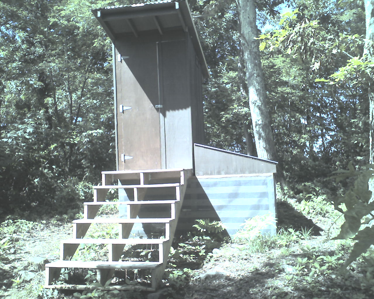
Today's photo features a new "composting" privy. They are the latest thing in AT privy technology. Instead of a hole in the ground, they are elevated, the waste is exposed to the air, and a handful ground litter per visit (kept in a five gallon bucket in the privy) is mixed with the waste to form compost. High-tech for sure.
Today we walked from a stealth campsite at trail mile 1,238.2, to another stealth campsite at trail mile 1,260.2, a total of 22.0 miles for the day.
May God provide many blessings to all of you.
 Wednesday, September 2, 2009
Good Trail
Location For The Night: Hightop Hut
Miles Walked Today: 24.20
Day Number:
77
We had a good night's sleep at an excellent campsite last night. It was cool, dry and breezy all night. The temperature this morning was a little warmer than yesterday, probably mid-40s. We were on the trail at 7:01am.
The weather today was perfect for hiking. Cool, clear and breezy. We feel like we paid our dues in Maine and New England and are now reaping our reward.
The trail in SNP is excellent, the best on the AT. Most is graded with regular switch backs. Much of it is wide. Many places have hand placed stone walls as much as 8' high supporting the downhill side of the trail. I'm not sure but it appears a lot of this work may have been done in the 1930s by the Civilian Conservation Corps. Will one of you Google "SNP Appalachian Trail construction" and let me know?
At 8:30am we dropped our backpacks under the coat rack at Big Meadows Lodge and were seated in the dining room. The breakfast was A-1, Superior and resonably priced. The coffee was Starbucks. Surprising, especially in a large National Park where one is in a captive environment with no competition for miles. We both highly recommend Big Meadows Lodge.
At 12:00 noon we took a short side trail to the Lewis Mountain Campground store. We were still full from breakfast but found room for 3 Klondike bars each. We called it lunch.
At 12:45pm we met Sue and Julia (photo, Sue is on the left) out for a day hike on their day off. They are SNP "Interpretive" Park Rangers. They said they take groups on tours, etc. Julia is originally from Wales. They were mystified by my ring trick.
If you've been wondering about the whereabouts of the Four Sibs, so have we. We're not sure if they are ahead of us or behind. Time will tell.
At 6:15pm we rolled into Hightop Hut (shelter) after searching for a stealth site for about 45 minutes. Sometimes good stealth campsites are scarce. The campsites around the hut were lousy so we decided to sleep in the shelter. Since it's cooler the bugs are gone and no one else is here tonight.
Today we walked from a stealth campsite at trail mile 1,260.2, to Hightop Hut, trail mile 1,284.4, a total of 24.2 miles for the day.
May God bless you all.
 Thursday, September 3, 2009
Big Lunch
Location For The Night: stealth campsite at trail mile 1,307.5
Miles Walked Today: 23.10
Day Number:
78
Our night in the shelter was fair, but we like our tents better. Before he retired Flaxseed saw mouse droppings in the shelter and worried about mice running across his face and through his beard. None did, but it kept him from getting his beauty rest. We were packed and walking at 7:05am.
It warmed up today and was more humid, but still a good day to hike. There were more clouds but it doesn't look like rain tonight.
The trail was fairly easy today, lots of minor ups and downs over good terrain. "Easy" of course must be defined. It was easy compared to what we've been through. If one were to strap on a fully loaded backpack and attempt today's hike "cold turkey" the definition would be anything but easy.
At 1:30pm we climbed up a side trail to Loft Mountain Campground Store for lunch. We were waited on by Barbara, 79, of Ocala, Florida (photo). She works at the Campstore from late spring to early fall and goes back home to Ocala where she has lived all her life in the winter. SNP provides housing right next to the store. She said her job is a paid vacation.
I was hungry and did myself proud. There, at a picnic table beside the store, I consumed three ham and cheese sandwiches, two pints of chocolate milk, two cartons of yogurt, one banana, one Dove bar, and one Klondike ice cream sandwich. Flaxseed ate almost an entire package of fat, Ball Park hot dogs, with cheese, rolled up in tortillas. He had two ice cream bars also. Not long afterwards, on the trail, I was nibbling on a Hershey's bar with almonds just to keep my energy up.
It was quieter today on Skyline Drive than it has been for the past few days. (In SNP we are often within hearing distance of the road.) There were fewer Harleys and cars. We're not sure why. Maybe the southern section is not as popular as the north.
At 4:00pm we gathered water for camp from a spigot at Dundo Picnic Area.
At 5:00pm we enjoyed a breathtaking, panoramic view of the Shenandoah Valley from the top of Blackrock, so named (I guess) because the white rocks are lined with black streaks.
We walked another hour to a stealth campsite at about trail mile 1,307.5. It's a good site with soft, un-camped on forest duff. Perfect to supplement the 3/8" thick pad I call a mattress.
Today we walked from Hightop Hut, trail mile 1,284.4, to a stealth campsite at trail mile 1,307.5, a total of 23.1 miles for the day.
May God's abundant blessings be yours as you trust in Him.
|

