 Monday, September 14, 2009
Donkey Day
Location For The Night: Kelly Knob Ridge
Miles Walked Today: 18.00
Day Number:
89
We were up and walking at 7:05am today. The weather was a near repeat of yesterday. It was cool in the morning and warmed to the mid-eighties in the afternoon; a beautiful sunny day.
We saw one person today. His trail name is Wild Man. He is young, probably early 20s. He has a short red goatee and one big playing card tattooed on each of his cheeks. He is hiking south and said he started at Boiling Springs, PA, 40 days ago. We first saw him at Niday Shelter. Two hours later, at 12:00 noon, he passed us in a rush. He said he planned to hike 25 miles today and had only done six so far. He would not let me take his picture.
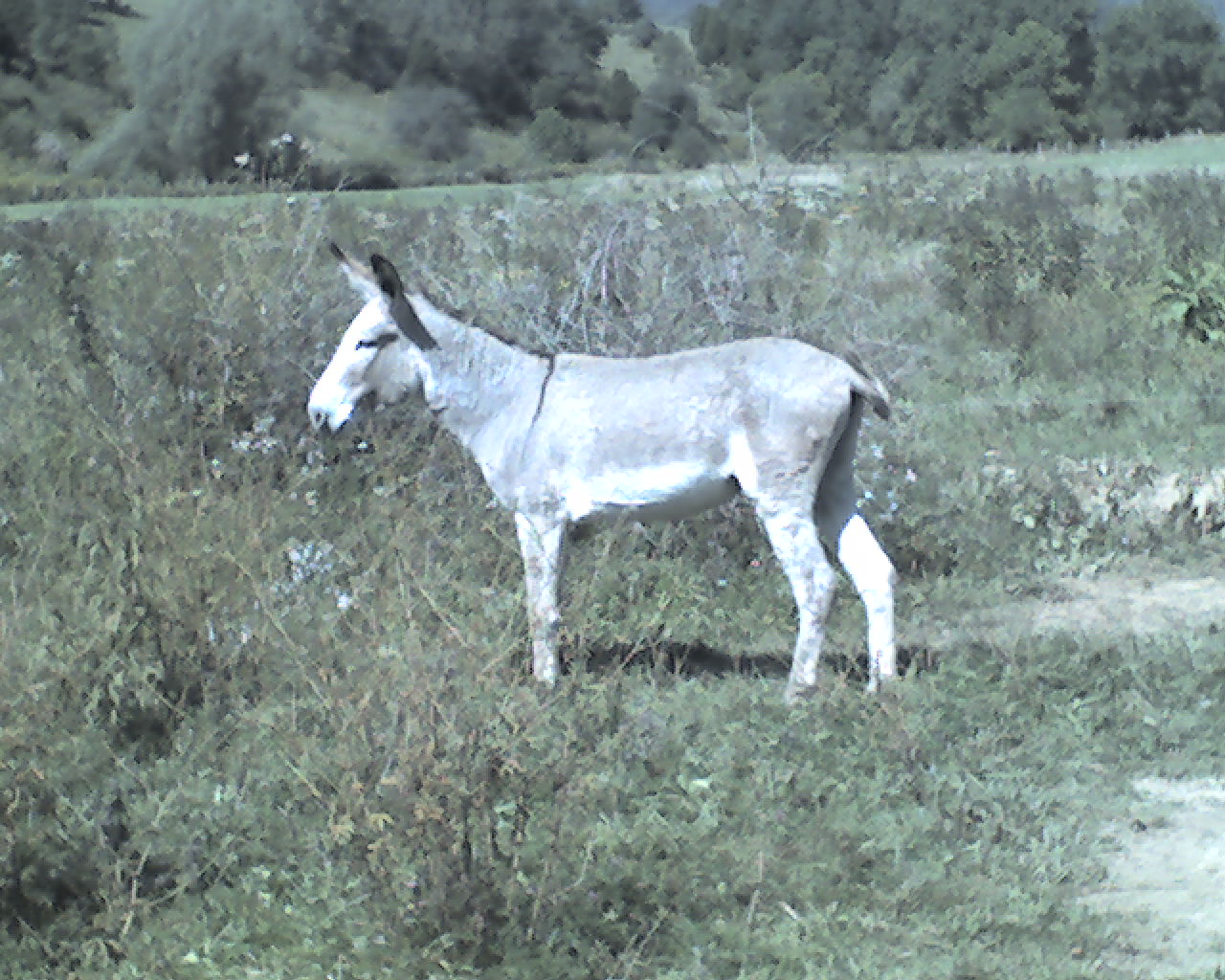
Later, at 3:10pm the subject in today's featured photo did let me take his picture. This may be the same donkey I saw in this same pasture in 2007.
At 5:30pm we found a good established campsite and called it quits for the day after only 18.0 miles. We were tired and the campsite was too good to pass up.
Today we walked from a stealth campsite at trail mile 1,498.9, to an established campsite on the south end of Kelly Knob ridge, trail mile 1,516.9, a total of 18.0 miles for the day.
God bless you all.
 Tuesday, September 15, 2009
Another Bear
Location For The Night: stealth campsite just south of the summit of Peters Mountain, trail mile 1,536.1
Miles Walked Today: 19.20
Day Number:
90
Today we hit the trail at 7:14am. It was another glorious day for climbing mountains and we climbed two today. This morning we descended to John's Creek Valley (2,080') and climbed to the top of Salt Pond Mountain (4,042'). This afternoon it was down to Stony Creek Valley (2,366') and back up to the summit of Peters Mountain (3,860'). Our "walk in the woods" involves climbing mountains every day we walk. It is not like walking on top of a levee.
At 8:45am Wild Man (see yesterday's entry) passed us again. The best we could tell he camped somewhere behind us last night. He must have given up on yesterday's proposed 25 mile day.
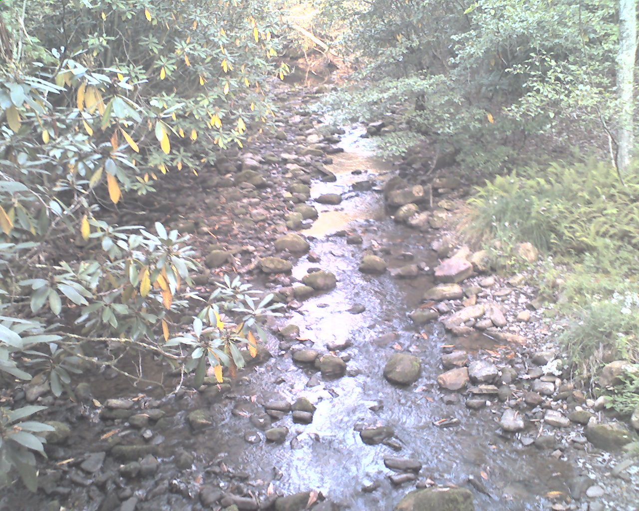
Today's photo was taken about 8:15am this morning from a bridge at a creek crossing. In it you can see the rhododendron leaves turning yellow (and falling off). When we were here in May, 2007, they were in full bloom.
At 4:00pm we saw another bear. It was a brief sighting. We heard a scuffling sound and then a big rock being kicked over up on the side of the mountain about 40' to the right of the trail. When we looked up we saw a black object moving through the woods. Next to where it moved was a cave. We think the cave may be its home or future winter hibertorium.
After we summited Peters Mountain we found a good stealth campsite at 5:35pm. Our five day plan from Daleville to Pearisburg is working well. We'll be in Pearisburg tomorrow afternoon.
Today we walked from an established campsite at trail mile 1,516.9, to a stealth campsite just south of the summit of Peters Mountain, trail mile 1,536.1, a total of 19.2 miles for the day.
May God's abundant blessings be yours.
 Wednesday, September 16, 2009
Lost Trail
Location For The Night: Rendezvous Motel, Lane Street, Pearisburg, VA
Miles Walked Today: 16.30
Day Number:
91
We left camp at 7:15am today. It was overcast with light fog early, but the fog lifted quickly and the day ended mostly cloudy. The high in the valley this afternoon was probably 85 degrees.
In the past two days more water has been available, both at designated and undesignated sources. It's always fun to find a good, cold spring that's not listed in the guidebook. When you're thirsty it's like finding a hundred dollars.
We did not see a solitary soul today until we reached US Highway 460 on the outskirts of Pearisburg, VA, where many souls were buzzing by at 60 MPH.
At this point we lost the trail for about 3/4 mile. It was up in the woods parallel to the highway. But try as we might, we could not find it. We continued along the highway knowing we would find it again as we neared the New River bridge (the only way to cross the river). We found it at the north end of the catwalk that crosses the river next to the highway. I had this same problem here in 2007. The trail is very poorly marked in this area.
After we crossed the river we could see our rendezvous point 1/2 mile ahead - The Rendezvous Motel, an AT tradition. At 2:10pm, Buck, the owner, checked us in and Skeeter, Buck's right hand man, volunteered to shuttle us to the restaurant and grocery.
I picked up my drop box. (Thanks Glen. You're still batting 100%.) We showered and did laundry at the motel.
Skeeter drove us to Lucky Star Chinese restaurant where we partook of an AYCE (pronounced ace, it's the AT acrostic for "all you can eat") buffet. We got our money's worth.
We resupplied at the Food Lion next to the restaurant and Skeeter took us back to the motel. In the morning he's going to take us to the best breakfast place in town, Marsha's.
Upon retirement Flaxseed consumed a pint of Haagen-Dazs butter pecan and I ate a pint of chocolate, same brand, with a pint of chocolate milk. When I finish this report I'll down a pint of strawberry.
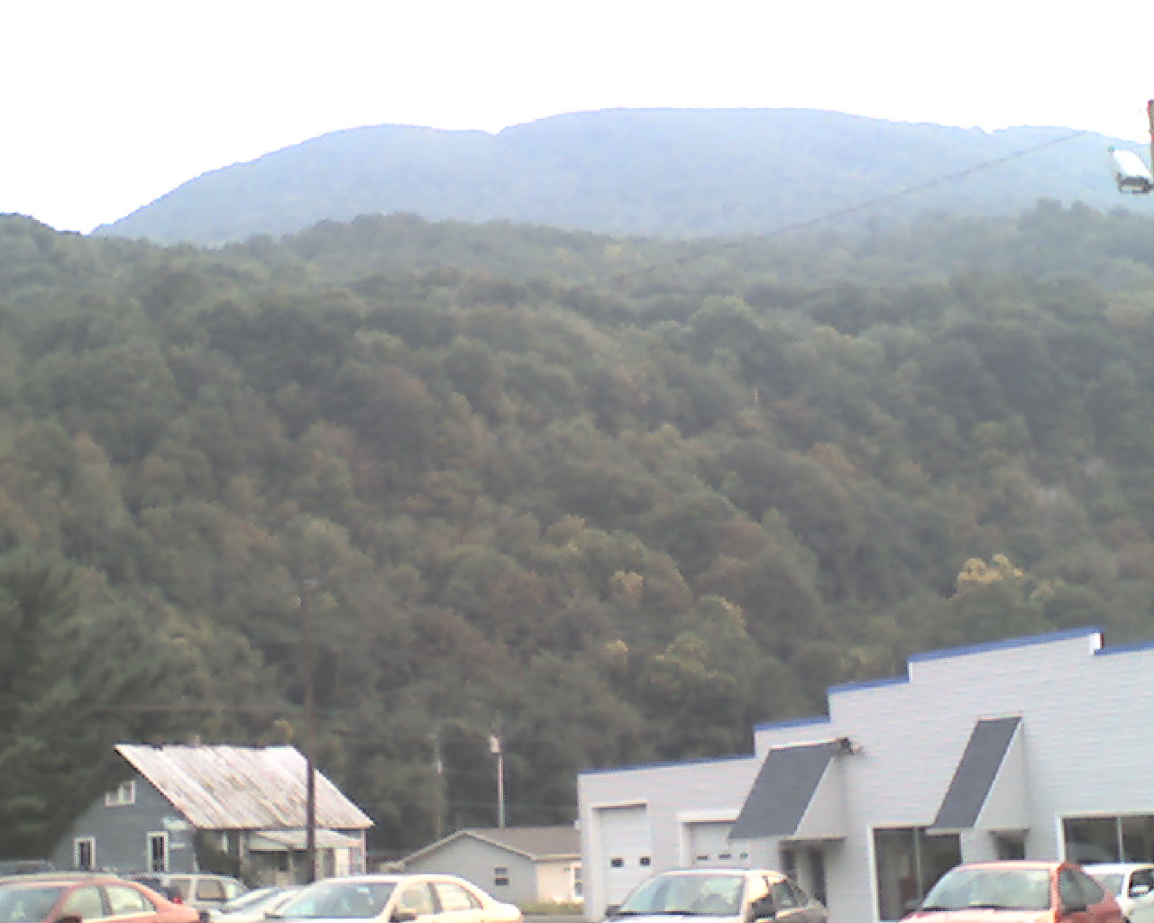
Today's photo, looking west, was taken just after sundown in front of the motel. It shows Pearis Mountain (3,600') in the background, tomorrow morning's climb. The trail enters the woods and starts up the mountain just to the left of the gray house in the left rear.
Today we walked from a stealth campsite just south of the summit of Peters Mountain, trail mile 1,516.9, to Lane Street, Pearisburg, VA, trail mile 1,552.4, a total of 16.3 miles for the day.
That's it. Gotta eat my strawberry ice cream.
May God's richest blessings be your's as you love Him and trust in His abundant mercy and grace.
 Thursday, September 17, 2009
Hoof Prints
Location For The Night: stealth campsite at trail mile 1,571.9
Miles Walked Today: 19.50
Day Number:
92
Our day started at 6:40am when Skeeter picked us up at the motel. Marsha's, his recommended restaurant, did not open until 7:00am so we went to Hardee's instead. After breakfast we returned to the motel to pick up our gear and we were walking at 7:25am.
We climbed 1,400 vertical feet to the top of Pearis Mountain and spent the rest of the morning and half the afternoon bouncing along on a relatively level ridge that varied in elevation from 3,238' to 3,870'. At mid-afternoon we descended about 1,000' to an average elevation of 2,400' and continued a relatively level walk until we made camp.
We now know for sure that two female southbound through hikers, hiking separately, are about a day ahead of us. Their trail names are Castle and Threshold. We've heard about them from northbound section hikers and today, when we stopped for water at Doc's Knob Shelter, we saw both names in the shelter register dated yesterday. It's interesting to keep up with those who started in Maine and are headed to the same place we are - Springer Mountain, GA.
There are horse camps in this area but horses are not allowed on the Appalachian Trail. This afternoon we followed fresh hoof prints and horse manure on our AT for five miles or more. This is a crying shame. Horses do real and lasting damage to hiking trails.
At 5:40pm we spotted an excellent stealth campsite in a small pine grove. We took it. Nothing makes a better tent site than pine needles.
The weather was mild and cloudy all day until we made camp and ate supper. Then light rain began. It's raining as I type at 8:25pm.
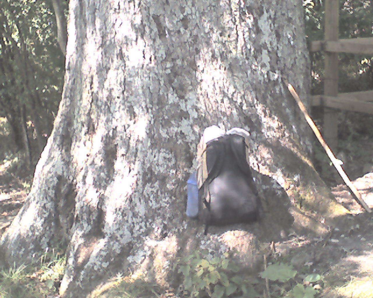
Today's photo, taken about four days ago, is Keffer Oak, the largest oak tree on the AT in the south. More than 18' in circumference, it is estimated to be over 300 years old. That's my backpack next to it.
Today we walked from Lane Street, Pearisburg, VA, trail mile 1,552.4, to a stealth campsite at trail mile 1,571.9, a total of 19.5 miles for the day.
God bless you all.
 Friday, September 18, 2009
Unexpected Miles
Location For The Night: stealth campsite at trail mile 1,597.2
Miles Walked Today: 25.30
Day Number:
93
Last night's rain turned out to be miniscule; hardly a heavy dew. This morning it was cloudy, foggy and warm. We arose a little earlier than usual and were walking at 7:04am with our headlamps on.
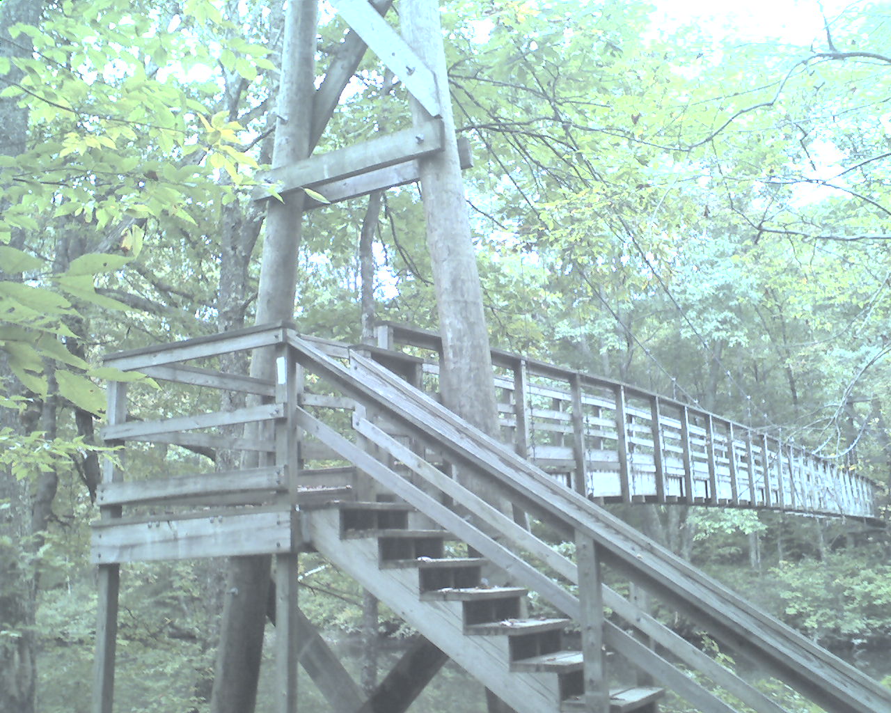
I took today's photo at about 8:15am today. It is a deluxe, heavy duty suspension bridge suspended high above Dismal Creek. There are several of these on the AT and there is certainly nothing dismal about their solid construction.
At 9:05am we reached VA Highway 606, made a right (west), and walked .4 miles to Trent's Grocery where I supplemented my food supply, ate a breakfast biscuit and drank a quart of chocolate milk. Flaxseed had a sandwich, a coke and a pint of ice cream. We were back on the trail at 10:00am.
At 11:15am we crossed VA Highway 608 at Lickskillet Hollow. Nothing special happened there. I just like the name Lickskillet.
At 12:30pm we eased in to Jenny Knob Shelter for water and lunch. Castle signed in yesterday complaining about a problem with her backpack. She says Northface is shipping a new one to Damascus, VA. Threshold signed in just a few hours before we arrived. She said she camped at Trent's Grocery (and campground) last night. We expect to meet these two southbounders soon, just don't know when.
At 3:10pm it started to rain and developed into a moderate thunderstorm that lasted two hours. More rain threatened. We discussed our three options; 1) sleep in the next shelter, 2) go into town to a motel (Bland, VA), or, 3) hike on, pitch our tents and take our chances. We chose the third.
By continuing to hike we posted some unexpected miles. We were pleasantly surprised. The trail was fairly easy, but we were off trail for almost an hour at the grocery and still made 25.3 miles by 6:00pm. That's big for us.
Today we walked from a stealth campsite at trail mile 1,571.9, to another stealth campsite at trail mile 1,597.2, a total of 25.3 miles for the day.
May God bless all of you.
 Saturday, September 19, 2009
Bear Hounds
Location For The Night: Chestnut Knob Shelter
Miles Walked Today: 19.80
Day Number:
94
After I completed my report last night it rained for about an hour and then turned to dripping fog. The fog and drip lasted the rest of the night. This morning we packed our wet gear and were on the trail at 7:10am.
At 9:30am we were treated to trail magic near Laurel Creek, VA 615. A trail angel left a cooler full of grape flavored Gatorade. We drank two each.
At 12:10pm we met a young hiker named Jim near Jenkins Shelter. He was out for the weekend hiking south and gave us some good information for the rest of the day's hike. He said he would probably see us at Chestnut Knob Shelter later today.
At 2:05pm we reached VA 623, Garden Mountain. Two authentic Virginia mountain men were there in a 4WD pickup truck. A big dog box was in the bed. It was full of bear hounds. They looked like overgrown coonhounds. We asked them if they killed the bears and ate the bear meat. They said no. They said they let the dogs tree them and then they take a picture of the bear.
At 5:40pm after a hard day's walk we summited Chestnut Knob (4,410'). This is the highest we've been in a long time. There, in an open, grassy field called a bald, is a fully enclosed stone shelter with windows and a door. Jim was there and we joined him for the night.
Jim is member of Roanoke Appalachian Trail Club that maintains the trail and shelters in this area. He is a grant writer at Virginia Tech. From what he told us it sounds like he's doing a good job for the university.
It was cloudy all day long. Tonight, heavy fog (or clouds) has engulfed this bald and shelter. Visibility at 8:30pm is about 20' and the wind is up. This is not a good place to tent camp. Too much exposure.
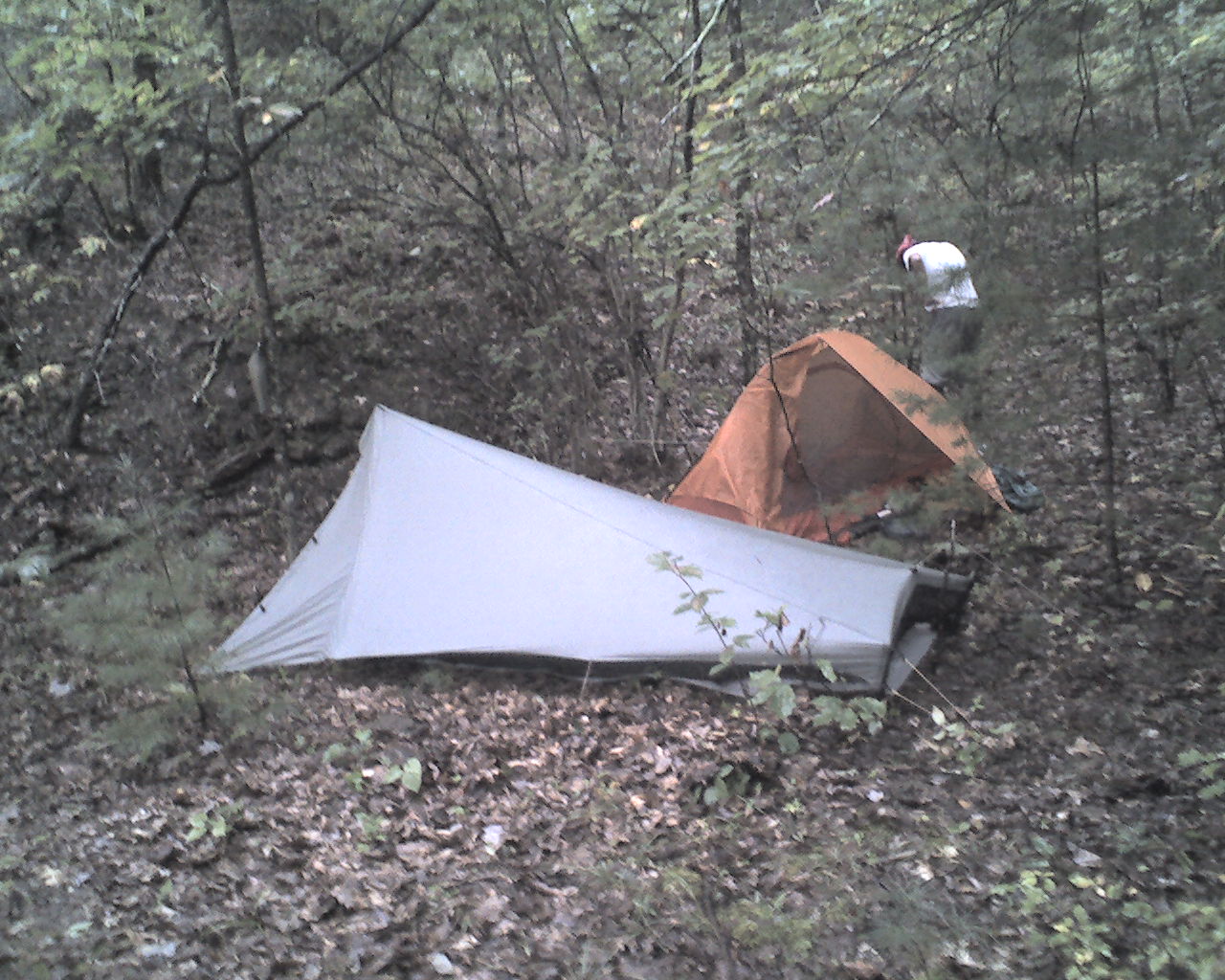
Today's photo is last night's stealth campsite. It's tight, but we don't need much room for our one man shelters. Many times we can spot places that others might miss.
Today we walked from a stealth campsite at trail mile 1,597.2, to Chestnut Knob Shelter, trail mile 1,617.0, a total of 19.8 miles for the day.
God bless you all.
 Sunday, September 20, 2009
Big Storm
Location For The Night: Relax Inn, VA Highway 683, US 11, trail mile 1,640
Miles Walked Today: 23.00
Day Number:
95
Yesterday I told you that tent camping on top of Chestnut Knob (4,410') was a bad idea, particularly if weather threatened. It is the tallest mountain in the area. If the weather is bad it will receive the brunt of it. Last night's storm proves my point. Extremely high winds and hard rain pounded the shelter from midnight until 5:00am. It reminded us of our night in The Dungeon on top of Mount Washington. In both cases we were fortunate to be inside - dry and snug.
At 6:00am, after the rain was over, Flaxseed looked outside. The fog was so thick he didn't think we could find the white blazes. We slept in until 7:00am, packed our gear, ate a bite, bid Jim farewell, and were walking at 7:45am. A foggy drip lasted a couple of hours. It was mild and cloudy with a hint of rain the rest of the day.
After leaving Jim at Chestnut Knob we did not see anyone until we arrived at VA Highway 683 at 6:15pm. We crossed Interstate 81 and checked into the Relax Inn motel where I picked up drop box #16. After chores and showers we ate supper at a restaurant attached to a Chevron convenience store, resupplied and ate ice cream in the room.
By the way, we think we may be ahead of Threshold now, though we never saw her. We suspect she may have been at a shelter (slightly off trail) that we passed a couple of days ago. On the other hand, Castle is still a half day ahead of us. She left a note in the hiker journal at the Chevron store where we ate supper saying she had stopped in for a snack earlier today. She is a strong hiker.
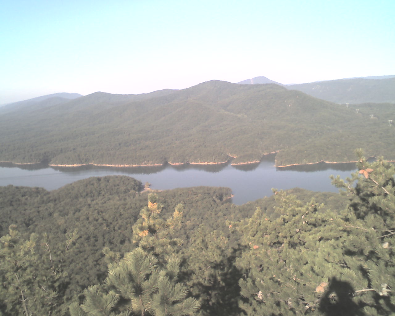
Today's photo is a mountain top view of a man-made lake in Virginia. It was taken a couple of weeks ago.
Today we walked from Chestnut Knob Shelter, trail mile 1,617.0, to VA Highway 683, US 11, trail mile 1,640.0, a total of 23.0 miles for the day.
May the Creator God of all that is and ever will be bless you all.
 Monday, September 21, 2009
Old School
Location For The Night: Trimpi Shelter, trail mile 1,662.2
Miles Walked Today: 22.20
Day Number:
97
We left the Relax Inn at 6:45am and walked back to the restaurant in the Chevron convenience store for breakfast. We were on the trail at 7:45am.
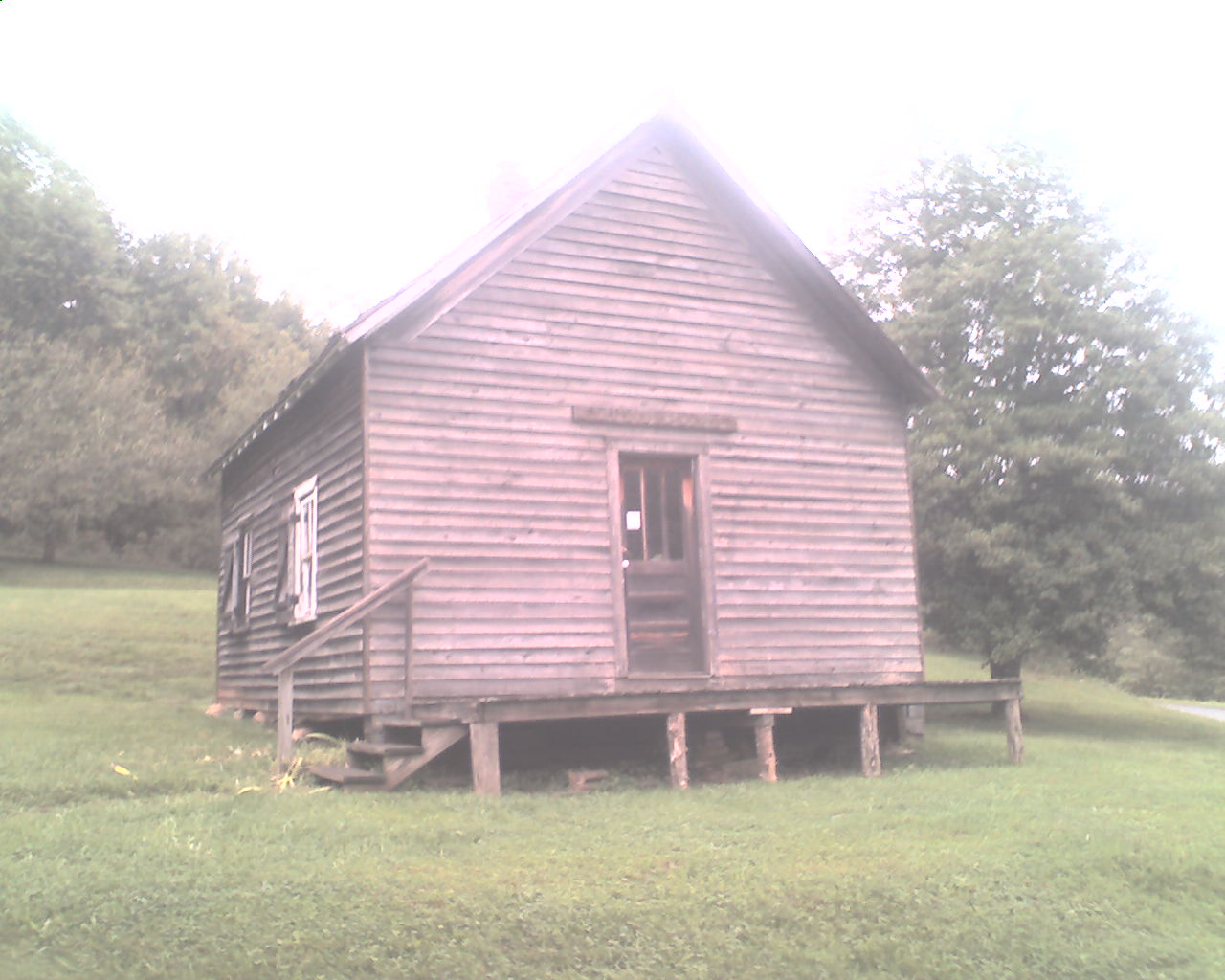
At 8:50am we passed the old one-room school house featured in today's photo. It is part of The Settler's Museum, a local historical museum.
It rained last night and was cloudy and windy all day. It started raining again at about 5:15pm and looks like it's going to be another foggy, rainy night.
Because of the weather we planned today's walk to end at Trimpi Shelter. We did not want to pitch our tents on wet ground and brake camp in the rain tomorrow morning.
Today we walked from VA Highway 683, US 11, trail mile 1,640.0, to Trimpi Shelter, trail mile 1,662.2, a total of 22.2 miles for the day.
God bless all of you.
 Tuesday, September 22, 2009
Wise Decision
Location For The Night: Wise Shelter, trail mile 1,682.2
Miles Walked Today: 20.00
Day Number:
96
After a good night's sleep at Trimpi Shelter we packed up and departed at 7:30am. There was light rain off and on during the night and as we were getting ready to go, but no rain the rest of the day.
There is a touch of fall in the air. The leaves are starting to show their colors. Some, not all, of the maple trees are in the lead with their reds, yellows and oranges.
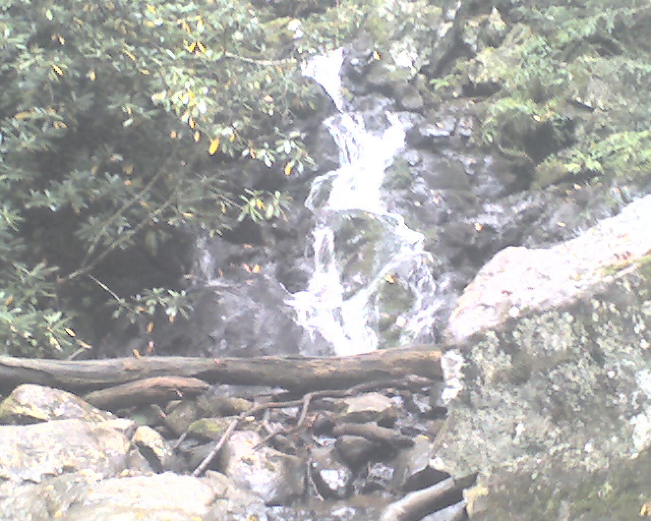
At 10:00am I took today's photo of a waterfall on Comer's Creek. I apologize again for the quality of the cell phone photos. I don't think the camera is adjusting for daylight as well as it did in the past.
At 12:00 noon we met an older lady hiking north alone. She was from Nashville, TN, and has been section hiking for several years, long enough to get from Georgia to this part of Virginia. She would not give her age, but said she was older than we are. I would guess she was about 75. I asked her what her children thought about her hiking the AT alone. She said they had given up and didn't say anything anymore.
As a side note, our health is generally good. Flaxseed's left knee is sore at times and he continues to wear braces on both knees. His stomach acts up once in a while, but seems to be doing well right now. I am feeling fine; no complaints. Our weight has stabilized. We're not gaining, but we're not losing. But, we still have a good way to go.
Castle, the southbounder we've been tracking, signed in at both Trimpi and Old Orchard Shelters. It appears she is still a half-day ahead of us, though her entry at Old Orchard, where we ate lunch today, was dated yesterday. We think she was there today and made a mistake on the date. Time will tell. By the way, the Four Sibs that we lost a couple of weeks ago must be behind us now.
We spent the day climbing back up above 4,000' to the Grayson Highlands area, a expansive, open natural meadow that features wild ponies in the fields next to the trail.
This morning at Trimpi Shelter we decided that we would shelter again tonight at if the weather didn't improve. We chose Wise Shelter (4,415'), 20 miles south. This proved to be a wise decision as it was cloudy all day with only a hint of sunshine, and, at 5:45pm when we arrived at Wise Shelter the clouds (or fog or mist, call it what you please) were rolling in on top of us.
Today we walked from Trimpi Shelter, trail mile 1,662.2, to Wise Shelter, trail mile 1,682.2, a total of 20.0 miles for the day.
God bless all of you.
 Wednesday, September 23, 2009
Grunt
Location For The Night: stealth campsite at trail mile 1,701.9
Miles Walked Today: 19.70
Day Number:
98
After another damp and foggy night we awakened to clearing sky and sunshine. This brightened our spirits. We were on the trail at 7:22am.
At 8:07am we heard two groups of coyotes barking and howling. They seemed to be talking to each other.
At 8:27am we walked past ponies grazing in the Grayson Highland meadows. They are not wild ponies. They have been shod. But they freely graze in this area that hikers and tourists frequent.
The views in the Grayson Highlands are magnificent and expansive. They remind us of the views in the White Mountains of New Hampshire. We passed a side trail to Mount Rogers (5,729'), the highest point in Virginia, but walked right on by. We get in enough walking everyday without taking side trails.
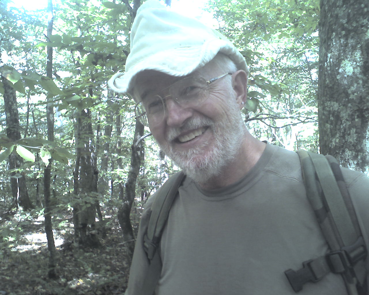
At 11:45am we met Grunt, 61, hiking north with a day pack (photo). He chose Grunt for his trail name because he was an infantry "grunt" in the army during the Vietnam war. He is a member of the Mount Rogers Appalachian Trail Club that maintains this section of trail. He and Flaxseed discussed their Vietnam experiences and we thanked him for his work on the trail. He told us that Castle, the hard hiking young lady we've been following for two or three weeks, was about an hour ahead of us. We're closing the gap.
At 1:50pm we stopped for lunch near the top of Buzzard Rock. It started to rain and the sky looked threatening once again. But, it passed quickly and looks like we may have a dry night.
At about 5:00pm we reached the Virginia Creeper Trail, an old railroad bed that has been converted to a biking trail. It runs downhill for about ten miles. Tourists that rent bikes in Damascus, VA, are shuttled uphill to the top (north of town) and coast all the way back. They never need to pedal, but I'm told it's hard on brakes.
The AT shares the Virginia Creeper Trail for about a mile and then winds back up into the woods where we found a good stealth campsite with soft pine needles in a healthy stand of pine trees at 5:45pm.
Today we walked from Wise Shelter, trail mile 1,682.2, to a stealth campsite at trail mile 1,701.9, a total of 19.7 miles for the day.
May God's richest blessings be yours as you trust in Him.
|

