 Sunday, July 26, 2009
Thanks Jeff
Location For The Night: Story Spring Shelter - VT
Miles Walked Today: 21.10
Day Number:
39
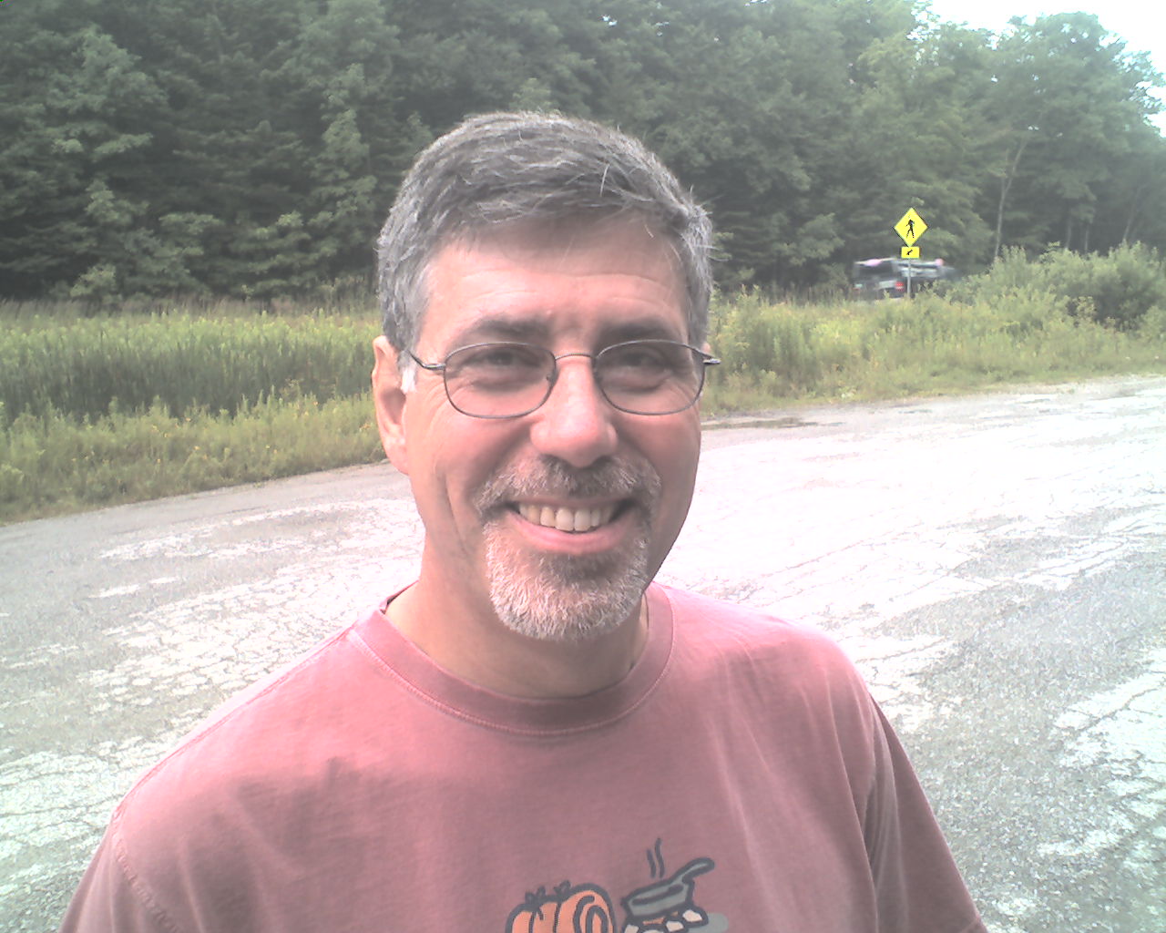
As I said yesterday, Green Mountain House, run by Jeff Taussig (today's photo), has got to be the best hostel on the trail. Not only was there enough food in the refrigerator for dinner last night, but, to say it again, the freezer was full of Ben and Jerry's pints. And, this morning a hiker's dad bought and prepared a big breakfast for us. We had coffee, juice, pancakes, link sausage, bacon, hashbrowns, and eggs to order. What a great place. Thanks again Jeff.
After breakfast Jeff took us back to the trail head. We were walking at 8:00am.
The day's walk was fairly uneventful. We had some good, drying trail but there is still a lot of mud. One can walk through it or around it. Flax and I choose the latter. Either way, it slows you down.
We climbed Stratton Mountain (3,936') and visited with a man and his wife that live in a cabin on top. The Green Mountain Club of Vermont employs them as caretakers of an old fire tower that is also located on top of the mountain. Hikers are invited to climb the tower and enjoy the view. Flaxseed and I passed on this climb.
Rain is predicted again tonight so we have elected to sleep in the Story Spring Shelter. Our bunkmates for the night are Cog (NOBO) and Yeti (SOBO).
Today we walked from VT Highway 11 & 30, Manchester Center, VT, trail mile 337.7 to Story Spring Shelter, trail mile 558.8, a total of 21.1 miles for the day.
Also, here's wishing a big HAPPY BIRTHDAY to my grandson, Wil Arterburn, whose birthday is tomorrow, July 27.
May God bless all of you.
 Monday, July 27, 2009
Boring Day
Location For The Night: Autumn Motel, Bennington, VT
Miles Walked Today: 19.00
Day Number:
40
During the night we saw lightning and heard thunder to the south of us. But we only got a small amount of rain. Flax and I were up at 4:30am and on the trail at 5:00am. The rain was over but it was overcast. We to used our headlights for the first 20 minutes. The days are definitely getting shorter.
At 8:15am we stopped to eat breakfast at Kid Gore Shelter, 5 miles south of last night's camp. A hiker was drying out his wet tent and gear. He said it had poured there for about an hour and a half last night.
Flaxseed and I agreed that today's walk was sort of boring. Everything seemed to look the same all day long. There was no variety and few good views. There were virtually no landmarks to gage our progress. So, what does one do? One puts one foot in front of the other (while trying to keep mud from oozing in over one's shoe tops) and keeps on walking.
At 3:00pm after about two hours of rolling thunder all around us a thunder storm opened up. It lasted for about 45 minutes, just enough to re-muddy the trail.
At 4:10pm we reached VT Highway 9. Flax, in the lead, charged across the highway, never missing a beat. I let him go about 100 yards and yelled, "Hey, let's talk about this." We discussed the fact that we are on vacation and willingly agreed to spend the night in Bennington, VT.
After a few unsuccessful minutes hitching, a local commuter bus came by and gave us a ride to the Autumn Motel. And now we've done all the regular town chores and eaten a big restaurant supper. So big that Flax didn't have room for ice cream. I did. Now it's time for bed.
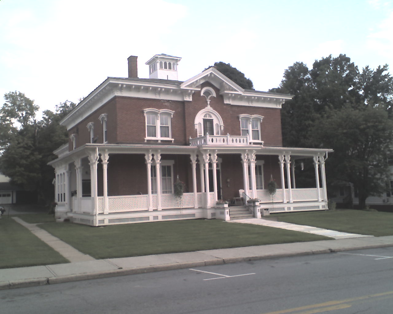
Today's photo is a classic old home on Bennington's Main Street that has been restored.
Today we walked from Story Spring Shelter, trail mile 558.8 to VT Highway 9, Bennington, VT, trail mile 577.8, a total of 19.0 miles for the day.
Blessings to all.
 Tuesday, July 28, 2009
Hello Massachusetts
Location For The Night: Howard Johnson Motel, Williamstown, MA
Miles Walked Today: 18.40
Day Number:
41
Today at 6:20am the owner (I did not get his name) of the Autumn Motel drove us to Fat Bellies in downtown Bennington, VT, for breakfast. We ate enough to do justice to the restaurant's name. After breakfast he shuttled us back to the trail head and we were walking at 7:30am.
We walked past several huge beaver ponds today. They were impounded by curving dams hundreds of feet long and, in places, twenty feet high. The engineering and construction is amazing.
The weather was good all day; sunny and no rain. The trail remains muddy in many places.
We are seeing fewer north bound hikers now. The majority of them are now behind us. And, as there very are few south bounders to start with, we will soon have the trail to ourselves. We are looking forward to this change.
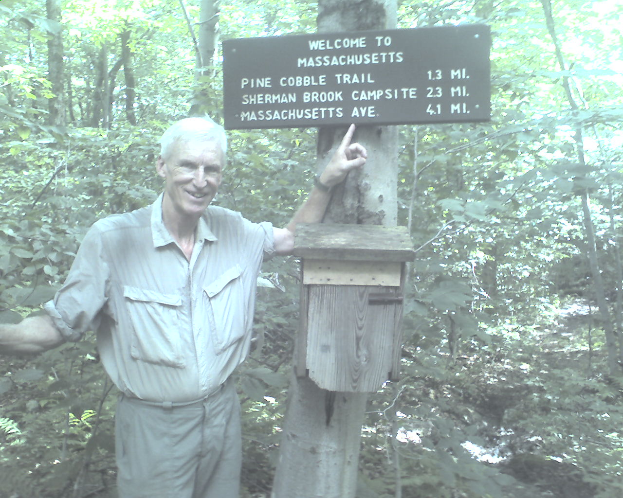
At 4:00pm we crossed the border and entered Massachusetts. At this point the Long Trail of Vermont that we have been sharing for the past 100 miles ends. It is always a thrill to enter a new state.
We lingered at the state line while I called the Howard Johnson motel in Williamstown, MA, and made a reservation for the night.
At 6:10pm we reached MA Highway 2, Williamstown, MA. We hitched a ride to the motel, showered, washed our hiking clothes in the bathtub, and ate at a pizza parlor across the street from the motel.
Today we walked from VT Highway 9, Bennington, VT, trail mile 577.8 to MA Highway 2, Williamstown, MA, trail mile 596.3, a total of 18.4 miles for the day.
May God's richest blessings, provided by the perfect sacrifice of His only Son, the Lord Jesus Christ, be yours as you trust in Him.
 Wednesday, July 29, 2009
Mount Greylock
Location For The Night: Mason Hill Hostel, Cheshire, MA
Miles Walked Today: 14.80
Day Number:
42
Flaxseed and I were up at 6:00am and first in line at the motel's continental breakfast. While eating we met Rich Coppa and his two boys from Ashaway, RI. Rich is an Assistant Scoutmaster with Troop 21 in Ashaway. Both sons are Scouts in the troop and the older one is already a Star Scout at age 12. I showed my ring trick to them.
After breakfast Rich drove us back to the trail and we were walking at 7:50am. Thanks Rich.
We immediately began our ascent of Mt. Greylock (3,491'), the highest peak in Massachusetts. It was a vertical climb of over 2,800', more than we have done at one time since we left the Whites, but, it was a roller coaster involving 3 major ups and downs before reaching the summit. I would guess that the total vertical for the morning was about 3,800'. Makes one sweat.
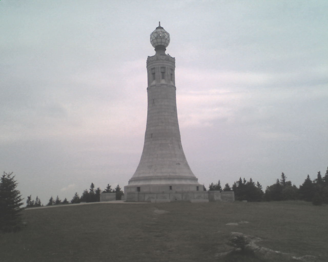
We reached the summit dominated by the Veterans War Memorial Tower (photo) at 11:30am. There, at Bascom Lodge, we ate lunch; pulled pork sandwiches with potato salad and slaw. Our trail food bags are staying full because everywhere we turn there is real food for sale.
The sky started to look nasty and the lady at the lodge warned us about impending severe weather. At that point Flax and I made another wise logistical move. We called Kathy at the Mason Hill Hostel in Cheshire, MA, and reserved a bunk for the night. We started our descent at 1:00pm.
At about 2:15pm rain, thunder and lightning started. By 3:00pm it was a full blown gully washer. The trail became a river and we were going downstream. It continued to pour all the way to Cheshire, MA, where we arrived at 5:00pm.
We headed for the Cobbleview Pub for big cheeseburgers and french fries, and called Jim, Kathy's husband, at Mason Hill to pick us up.
Right now it is 8:41pm and the storm outside continues with vengeance. But we are clean and dry as are our hiking clothes; all ready for another soaking tomorrow.
Today we walked from MA Highway 2, Williamstown, MA, trail mile 596.2 to Cheshire, MA, trail mile 611.0, a total of 14.8 miles for the day.
May God bless each and every one of you.
 Thursday, July 30, 2009
Mini-Maine
Location For The Night: Washington Mountain Road
Miles Walked Today: 18.10
Day Number:
43
After yesterday's gully washer it continued to pour all night long. But the "Barn" at Mason Hill was cozy and dry. We were up at 6:00am and ate trail food for breakfast. By the time Jim was ready to take us back to the trail the rain had subsided. We were walking at 7:30am.
I know you're getting tired of hearing this but this is a journal, not a novel, so here it comes again. The trail was wet and muddy all day. Flax and I agreed it was like Maine in miniature; wading across creeks and walking in a river of mud and water. Dry feet are an impossibility.
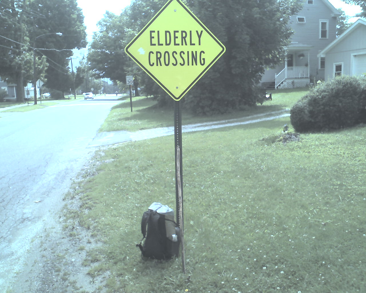
At 11:30am we walked out of the woods into Dalton, MA. The trail runs on city streets here for about a mile and a half. As we made our way through town I took today's photo. I asked Flaxseed to pose in the crosswalk but he said heck no and kept on walking; said he didn't qualify for such a crossing and didn't appreciate me suggesting that he did.
We ate a big lunch at a deli in town that was right on the trail and changed our socks. (A lot of good that did.)
As we climbed into the woods at the edge of town we were treated to "trail magic"; a basket full of Sprite. Thanks trail angel.
At 4:00pm on top of Warner Mountain we met a young NOBO hiker hiking barefoot. No kidding. Hiking barefoot over sharp rocks, roots, and a kinds of stuff hidden by mud and water. Crazy. But, he did say his barefootin' was only for today.
At 4:37pm we came upon more trail magic near Blotz Road. It included a cooler of soft drinks, bananas, apples, and a 5 gallon bucket full of all kinds of Little Debbies; all real hiker food. It was left by Birch, a former through hiker, who said in a note that he was simply doing what others had done for him. Thanks Birch.
At 6:10pm we reached Washington Mountain Road, took a left, and walked 200 yards to the home of "The Cookie Lady", Marilyn Wiley, and her husband, Roy. I had a drop box and my bounce box here. Roy greeted us with fresh baked cookies and invited us, as he does all AT hikers, to camp in his yard. We pitched our tents here for the night.
Today we walked from Cheshire, MA, trail mile 611, to Washington Mountain Road, trail mile 629.1, a total of 18.1 muddy miles for the day.
May God bless you all.
 Friday, July 31, 2009
Sunset Farm
Location For The Night: Sunset Farm, Tyringham, MA
Miles Walked Today: 18.00
Day Number:
44
Last night the sky was clear and the stars were bright until about 3:00am. Then the clouds rolled in. Flax and I were packing at 5:00am and on the trail at 5:45am.
The sky continued to darken and the woods, in places, was exceedingly dark. Almost ominous.
At 9:30am it started to rain and it continued steadily all day long. There seems to be no end to this unrelenting rain. And, as is our habit, we continued to walk in it, and in its consequential mud and flowing water. After all, walk is what one must do if one desires to hike the Appalachian Trail in one season.
At 11:20am we crossed the Massachusetts Turnpike on an elevated foot bridge built especially for the AT. This is a traditional turning point. For south bounders like us it means the most difficult section is behind, for north bounders it's just the opposite. But, because of the mud and water, there was nothing easy about this afternoon's walk.
As the rain intensified at about 2:00pm I hollered up ahead to Flaxseed. "Hey," I said, "What do you think we ought to do about tonight?" After a short discussion Flax held my umbrella (to protect the PDA) while I called Alice Hale at Sunset Farm B&B in Tyringham, MA, to reserve a room. Another wise decision by Flaxseed and Ringmaster.
Now, permit me to leave today's narrative to give you our take on all this moteling, hosteling, and now, bed and breakfasting, that Flax and I have been doing lately. Let me start by saying we did not plan to stay in town as much as we are. It is a direct result of all the wet weather. As the rain continued we looked at our options from three angles. First, we are on vacation, not a survival mission. Second, our AT budget, though not unlimited, is higher than the average for most of the kids hiking this trail (and we split the costs). Third, and most importantly, the lodging and good food protect our health. That's it. And that's why we're in town again tonight.
With that said, we both believe one can survive the AT, even in this constant rain, living in modern day pup tents (like ours) and overcrowded shelters and eating an abundance of trail food. It's just not for us under these conditions.
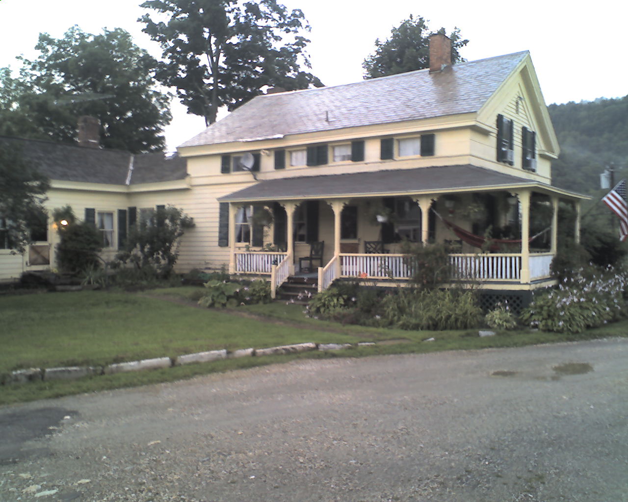
At 4:10pm we reached Main Road near Tyringham, MA. A man that lives close to the trail head gave us a ride to Sunset Farm (today's photo). We met Miss Alice, got situated in our room and took care of showers and laundry. Don Hale, Alice's 80 year-old brother drove me about three miles into Lee, MA, where I picked up hot pizza, cokes, ice cream and Milano cookies for supper.
While we ate Miss Alice filled us in on all things Tyringham and now we are settled in for a good night's rest.
In the morning breakfast is at 8:30am and after that Don is going to drive Flaxseed to Great Barrington, MA, to buy new shoes at the same store Flax used in 2007.
Today we walked from Washington Mountain Road, trail mile 629.1, to Main Road, Tyringham, MA, trail mile 647.1, a total of 18.0 miles for the day.
Blessings to each and every one.
 Saturday, August 1, 2009
Productive Day
Location For The Night: Stealth Campsite near Ice Gulch
Miles Walked Today: 14.10
Day Number:
45
Last night some of the other guests returned at midnight. We had been told that they were attending a James Taylor concert at a venue north of here. As I listened to them getting ready for bed I thought about a song he recorded about fire and rain. In it he says he's seen both. I laughed to myself as I thought about all the latter we've seen on the AT.
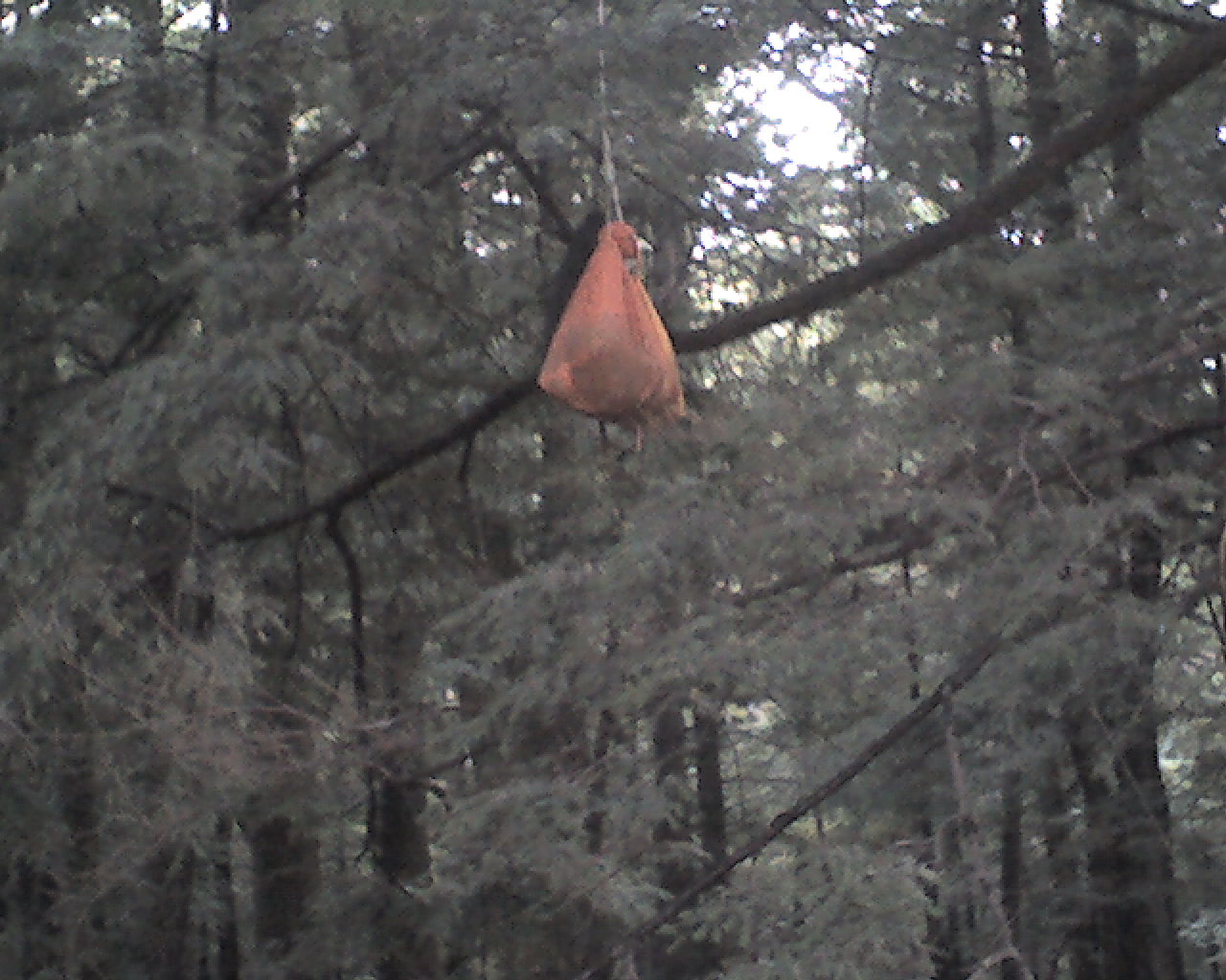
Today, at Sunset Farm, we slept late, rising at 6:30am. And, before Miss Alice (today's photo) stirred, Flax and I had coffee made. At about 7:30am Miss Alice's niece and Don's daughter, Chris, arrived to cook breakfast. While she was cooking Don showed us their banquet hall located in the hay loft of a substantial old dairy barn. They use it to host and cater weddings and other events. Quite an operation.
Breakfast was well prepared and filling. We had coffee, orange juice, muffins, fresh cantaloupe, blueberry pancakes with the Hale's own real maple syrup, bacon, and hashbrowns.
After breakfast Don drove us to Lee, MA, to an outlet mall to look for shoes for Flaxseed. He wanted a pair exactly like his old ones: New Balance, Country Walkers, size 10 1/2 EE, waterproof. No luck at the outlet mall so we drove to Great Barrington where Flax found this very shoe in 2007 when he was hiking the trail northbound. He walked into the same store and, believe it or not, they had it. Mr. Flaxseed is a happy camper tonight. The new shoes made his day.
We returned to Sunset Farm, snacked down a lunch, said our good-byes and were walking again by 1:15pm. It was a beautiful day and the trail was, believe it or not, mostly dry all afternoon. Even the few muddy places were not too bad. What an absolute joy to walk on a dry trail. Thank you Lord.
We walked along the edge of several shear bluffs where one misstep could do one in. Near the end of the day, just before camp, we walked along the side of a canyon that reminded us of Mahoosuc Notch in Maine.
At 6:40pm we picked out a stealth campsite on top of a bluff near Ice Gulch. We pitched our tents, ate supper, and crawled in our shelters. As I lay here typing the bug netting between me and all those mosquitoes out there gives me great comfort.
Today we walked from Main Road, Tyringham, MA, trail mile 647.1, to Ice Gulch, trail mile 661.2, a total of 14.1 miles for the day.
May the Creator of the Universe, the God of the Patriarchs, and the Father of our Lord and Savior, Jesus Christ, bless you and keep you.
 Sunday, August 2, 2009
Hard Work
Location For The Night: Stealth Site at Mile 679.9
Miles Walked Today: 18.70
Day Number:
46
Today we broke camp and were walking by 5:45am. The day began cloud covered and windy.
We are seeing mountain laurel and poison ivy now. The mountain laurel is not in bloom, but it appears to be the same plant as the southern version.
This morning's walk over East Mountain took us along and beside steep bluffs that offered spectacular, panoramic views of the valley to the east. Then, guess what, at about 12:30pm it started to rain again and fog rolled in.
The afternoon's walk over Mount Everett and Race Mountain would have had even more spectacular views, but the rain and fog continued and the trail, once again, turned into a slick, muddy mess. The rocks were wet and slick too. We have to be very careful in these conditions. One bad fall could end our hike. Today's walk, particularly this afternoon's, was hard work.
There was a break in the rain at about 4:30pm and we found a good, well drained spot to camp under some pine trees at 5:15pm, so we quit a little early today and set up camp.
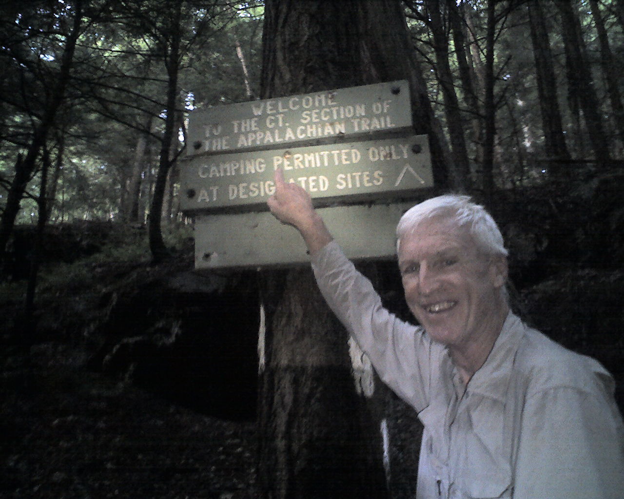
Today's photo shows our food bags suspended high over a branch to protect our food from bears. We are in bear country here.
Today we walked from Ice Gulch, trail mile 661.2, to a stealth site at approximately 679.9, a total of 18.7 miles for the day.
God bless you all.
 Monday, August 3, 2009
Hello Connecticut
Location For The Night: Mt. Easter - Stealth Site
Miles Walked Today: 24.30
Day Number:
47
Today we were packing at 4:30am and walking at 5:30am. Rising early provides more daylight hours for walking in the woods, which, to steal a phrase from Bill Bryson, "is what we do."
At 6:13am we walked into Connecticut. It was still dark in the woods and the PDA camera does not have a flash. Flaxseed focused both of our headlamps on the sign and me to take today's photo.
After entering Connecticut we immediately ascended to the top of Bear Mountain (2,316'), the highest point in Connecticut. It was a steep but brief climb (relative to the mountains behind us). At the top is a large rectangular stone structure or monument commemorating it as the state's highest point. As we looked south it was obvious that the mountains, though still able to called such, were not near as high as the peaks that we have been climbing.
At 1:30pm we met Norman and Nancy Sills of nearby Salisbury, CT., day hiking with a friend. After introductions, Norman, 87, and a through hiker himself, told us that back in the 1980s he laid out most of the AT in this area, including the section we (and they) were hiking today. We could sense his love for the trail. Thanks Norman for all the hard work you have done over the years.
At 2:00pm we descended to the banks of the Housatonic River near a hydroelectric plant. As a result of all the rain the waterfall downstream from the plant was roaring. And I mean roaring - a mini Niagara Falls.
At 2:30pm state road and bridge construction required us to take a long road walk detour. We walked along a country road for about two miles. Beautiful country estates lined the road.
At 6:30pm we stopped to camp at a stealth site on top of Mount Easter. I had refried beans for supper. Flax had peanut butter and fresh garlic cloves on tortillas, one of his favorite meals.
It was sunny and cool today and there was some mud but much of it was drying and, after Bear Mountain, the terrain was flatter. The ups and downs had less up and down in them.
Today we walked from a stealth campsite at trail mile 679.9 to another stealth campsite on top of Mt. Easter, trail mile 704.2, a total of 24.3 miles for the day.
May God bless you with the grace, mercy and forgiveness that are only available through His Son, the Lord Jesus Christ.
 Tuesday, August 4, 2009
Another Day
Location For The Night: Fife & Drum Inn, Kent, CT
Miles Walked Today: 18.20
Day Number:
48
We were up early again today and on the trail at 5:20am. We used our headlamps for about the first 20 minutes. The days are definitely getting shorter.
Today's walk covered more difficult terrain than yesterday's and was very tiring. It was up and down all morning, then a long road walk next to the flooded Housatonic River, then more ups and downs in the afternoon. But, we had a goal. We were going into town for the night.
Finally, after a tiring day, at 3:20pm we arrived at CT Highway 341, Kent, CT, and walked the .8 miles east into town.
I picked up my drop box at Backcountry Outfitters (Thanks Glen. You are batting 1,000.) and we headed for the Kent Pizza Garden for big cheeseburgers.
Next, we checked into a room at the Fife 'n Drum Inn, showered, washed our clothes, resupplied, repaired clothing and equipment, ate ice cream and now it's already 9:00pm. There is never an idle minute. It seems we are going all the time. Tomorrow morning we plan to take it easy and do a half day in the afternoon.
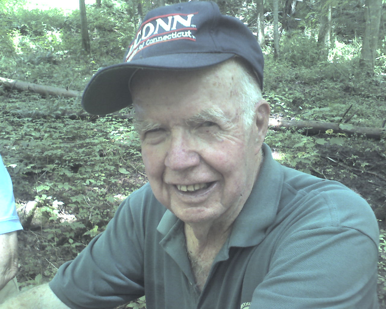
Today's photo was taken yesterday. It is of through hiker Norman Sills, 87, of Salisbury, CT. He's still out on the trail climbing mountains. What a trooper. Flaxseed and I were duly impressed.
Today we walked from a stealth campsite in Mount Easter, trail mile 704.2, to CT Highway, 341, Kent, CT, trail mile 722.4, a total of 18.2 tough miles for the day.
Happy birthday to Emilia Arterburn, my granddaughter, who celebrated her eighth birthday yesterday, August 3rd. I love you Emilia. Sorry I'm a day late.
God bless all of you.
|

